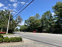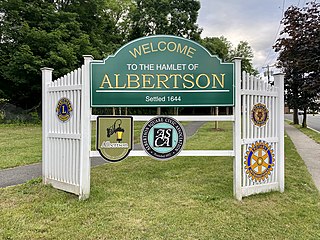
Albertson is a hamlet and census-designated place (CDP) in the Town of North Hempstead in Nassau County, on Long Island, in New York, United States. The population was 5,220 at the time of the 2020 census.

Flower Hill is a village in Nassau County, on the North Shore of Long Island, in New York, United States. The eastern half is considered part of the Greater Roslyn area, which is anchored by the Incorporated Village of Roslyn. Western and northern parts are more closely associated with Manhasset and Port Washington. The population was 4,794 at the time of the 2020 census.
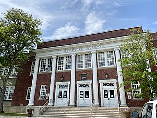
Herricks is a hamlet and census-designated place (CDP) in Nassau County, on Long Island, in New York, United States. The population was 4,398 at the 2020 census.

Manhasset Hills is a hamlet and census-designated place (CDP) in the Town of North Hempstead in Nassau County, on Long Island, in New York, United States. The population was 3,649 at the time of the 2020 census. Neighboring communities include Herricks, North Hills, North New Hyde Park, and Lake Success.

North Hempstead is one of three towns in Nassau County, on Long Island, in New York, United States. The population was 237,639 at the time of the 2020 census. It is the 7th largest city or town in New York by population.
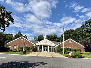
North Hills is a village in the Town of North Hempstead in Nassau County, on the North Shore of Long Island, in New York, United States. The population was 5,464 at the time of the 2020 census.
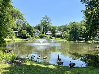
Roslyn Estates is a village in the Town of North Hempstead in Nassau County, on the North Shore of Long Island, in New York, United States. It is considered part of the Greater Roslyn area, which is anchored by the Incorporated Village of Roslyn. The population was 1,318 at the time of the 2020 census.

Searingtown is a hamlet and census-designated place (CDP) in the Town of North Hempstead in Nassau County, on Long Island, in New York, United States. The population was 5,044 at the time of the 2020 census.

New York State Route 25A (NY 25A) is a state highway on Long Island in New York, United States. It serves as the main east–west route for most of the North Shore of Long Island, running for 73 miles (117 km) from Interstate 495 (I-495) at the Queens–Midtown Tunnel in the New York City borough of Queens to NY 25 in Calverton, Suffolk County. The highway is a northern alternate route of NY 25, which follows a more inland routing along Jericho Turnpike.
Old Country Road is a 17.57-mile-long (28.28 km) major east–west thoroughfare through central Nassau County and extending into western Suffolk County on Long Island, New York. It serves many of the major shopping centers in central Nassau County including Roosevelt Field Mall. The road also forms part of the border between the towns of Hempstead and North Hempstead. In Nassau County, Old Country Road is county-maintained as the unsigned County Route 25 (CR 25) west of Round Swamp Road. This road follows the boundary line separating the towns of Hempstead and North Hempstead.

New York State Route 101 (NY 101) is a 3.58-mile (5.76 km) long state highway in northwestern Nassau County, New York, in the United States. It runs north–south as Port Washington Boulevard from NY 25A in Flower Hill, west of Roslyn and east of Manhasset, to Astor Lane in Sands Point. It becomes County Route 101 (CR 101) south along Searingtown Road to Shelter Rock Road (CR 8) and becomes Middle Neck Road north of Astor Lane, continuing north and west to a dead end at the Long Island Sound as the unsigned County Route D55 (CR D55).
Nassau County Route 9 is a major, 6.09-mile (9.80 km) county highway in Nassau County, on Long Island, New York, connecting Bethpage and the Village of Oyster Bay Cove.

Strathmore is an unincorporated, Levitt & Sons-developed hamlet in the Town of North Hempstead in Nassau County, on the North Shore of Long Island, in New York, United States, within the census-designated place (CDP) of Manhasset.

Stonytown Road is a 1.32-mile road in the incorporated villages of Flower Hill, Plandome, and Plandome Manor in the Town of North Hempstead, in Nassau County, on the North Shore of Long Island, in New York, United States. It serves as a major east-west through street across the Cow Neck Peninsula, between Plandome Road and North Plandome Road to the west and Port Washington Boulevard to the east – as well as forming portions of municipal boundaries.

County Route E64 is a major, 4.51-mile (7.26 km) county road between the Incorporated Villages of Mineola and Flower Hill, in Nassau County, on Long Island, New York. It is owned by Nassau County and maintained by the Nassau County Department of Public Works.

Plandome Road is a road in Manhasset and the incorporated villages of Plandome, Plandome Heights, and Plandome Manor in the Town of North Hempstead, in Nassau County, on the North Shore of Long Island, in New York, United States. It serves as a major north–south through street across the west side of the Cow Neck Peninsula, between Northern Boulevard to the south and Stonytown Road and North Plandome Road to the north, and is the main thoroughfare in downtown Manhasset.

I.U.Willets Road is a major west–east road between the Villages of North Hills and Old Westbury in the Town of North Hempstead, in Nassau County, on the North Shore of Long Island, in New York, United States.

Manhasset Woods Road is a 1.16-mile (1.87 km) road in the incorporated villages of Flower Hill and Munsey Park in the Town of North Hempstead, in Nassau County, on the North Shore of Long Island, in New York, United States. It serves as a major north–south through street across the lower portion of the Cow Neck Peninsula, between Northern Boulevard to the south and Stonytown Road to the north.

County Route 11 (CR 11) is a major, 6.46-mile (10.40 km) county road connecting New Hyde Park and Kings Point, in Nassau County, on Long Island, New York. The unsigned, north–south county route is the primary road serving the Great Neck Peninsula and a major access road for the United States Merchant Marine Academy. CR 11 consists of Lakeville Road and Middle Neck Road.
Marcus Avenue is a major roadway in Nassau County, on Long Island, New York, United States. It runs from the Queens–Nassau border in Lake Success at its western end, to Garden City Park at its eastern end. It is maintained by the Nassau County Department of Public Works and is designated as the unsigned Nassau County Route D46.
