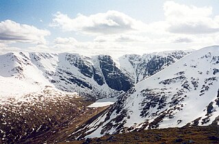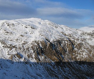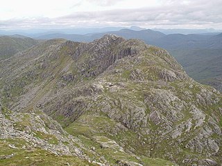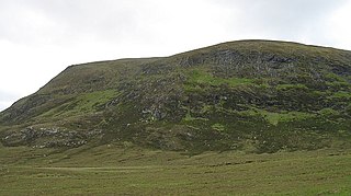
Sgùrr Choinnich is a Munro in the highlands of Scotland, located in the Achnashellach Forest area between Glen Carron and Loch Monar. It is mostly a hill of steep, grassy slopes, with a narrow summit ridge that runs east/west. There are crags on the northern side of this ridge, looking down into the corrie of Coire Choinnich.

Creag Meagaidh is a mountain on the northern side of Glen Spean in the Highlands of Scotland. It is a complex mountain, taking the form of a flat summit plateau from which five ridges radiate, and is most famed for the cliffs surrounding the corrie of Coire Ardair on the north-eastern face. These crags are a renowned venue for winter and ice climbing, although being somewhat vegetated they are less suited to summer climbing.

Glas Maol is the highest point in the Mounth hills, in the southeastern part of the Highlands of Scotland. The broad, flat summit is divided between the council area of Aberdeenshire, Angus and Perth and Kinross, though the highest point lies wholly within Angus; indeed Glas Maol is the highest point in that council area.

Creag Mhòr is a Scottish mountain which stands in the ancient Forest of Mamlorn deer forest, it is located ten kilometres north east of Tyndrum on the border between the Perth and Kinross and Stirling council areas.

Maoile Lunndaidh is a Scottish mountain situated 13 km south of Achnasheen in the Ross and Cromarty district of the Highland council area. It is part of the high ground between Loch Monar and Gleann Fhiodhaig.

Meall nan Tarmachan is a mountain in the Southern Highlands of Scotland near Killin just west of Ben Lawers. It is often climbed as part of the Tarmachan ridge, the other peaks of which are Meall Garbh, Beinn nan Eachan and Creag na Caillach ; these three peaks are Tops rather than Munros, and lie to the south-west of Meall nan Tarmachan.

Meall Ghaordaidh is a mountain in the Southern Highlands of Scotland, approximately 10 km north-west of Killin.

Beinn a’ Chaorainn is a Scottish mountain situated on the northern side of Glen Spean in the Lochaber region of the Highland Council area. The mountain which is located 30 km east-northeast of Fort William is one of several of the same name in the Scottish Highlands and should not be confused with another well known Beinn a’ Chaorainn in the Cairngorms.

Seana Bhràigh is a mountain east of Ullapool, in the Highlands of Scotland.

Creag Rainich is a remote mountain in the Northwest Highlands, Scotland, southwest of Ullapool. An isolated peak, its position provides fine views from its summit.

Beinn a' Chlachair is a mountain in the Grampian Mountains of Scotland. It lies north of Loch Laggan, near the remote hamlet of Kinloch Laggan.

Doune Hill is a peak in the foothills of the Grampian Mountains of Scotland. It is located near the village of Luss in Argyll and Bute, west of Loch Lomond.

Beinn Bheoil is a mountain in the Grampian Mountains of Scotland, located on the western shore of Loch Ericht in Highland.

Carn Dearg is a remote mountain in the Grampian Mountains of Scotland. It lies east of Rannoch Moor, on the border of Highland and Perthshire.

Creag nan Damh is a mountain in the Northwest Highlands of Scotland, southeast of the village of Shiel Bridge in the Kintail area.

Garbh Chioch Mhor is a mountain in the Northwest Highlands of Scotland. It lies in the Lochaber region, between Loch Nevis and Loch Quoich.

Creag Ghuanach is a mountain in the Grampian Mountains of Scotland. It is located in Lochaber, at the southern head of Loch Treig.

Creag Dhubh is a mountain in the Grampian Mountains of Scotland. It is located in the Strathspey area of the central Highlands, above the village of Newtonmore.

Creag Dhubh is a hill in the Grampian Mountains of Scotland. It is located in the Lochaber region, east of Roybridge.

Ben Armine is a remote hill in Sutherland in the far north of Scotland. It lies in inland, north of the village of Lairg.


