
Indiana County is a county in the Commonwealth of Pennsylvania. It is located in the west central part of Pennsylvania. As of the 2020 census, the population was 83,246. Its county seat is Indiana. Indiana County comprises the Indiana, PA Micropolitan Statistical Area, which is also included in the Pittsburgh-New Castle-Weirton, PA-WV-OH Combined Statistical Area.
Whitley County is a rural county in the U.S. state of Indiana. As of the 2020 United States census, the population was 34,191. Whitley County is the 49th largest county in Indiana. The county seat is Columbia City. The county has the highest county number (92) on Indiana license plates, as it is alphabetically the last in the state's list of counties. It is part of the Fort Wayne Metropolitan Statistical Area and the Fort Wayne–Huntington–Auburn Combined Statistical Area.

Newton County is a county located near the northwestern corner of the U.S. state of Indiana. As of 2020, the population was 13,830. This county is part of Northwest Indiana as well as the Chicago metropolitan area. The county seat is Kentland. The county is divided into 10 townships which provide local services.
Marshall County is a county in the U.S. state of Indiana. The 2020 census recorded the population at 46,095. The county seat is Plymouth.

Marion County is located in the U.S. state of Indiana. The 2020 United States census reported a population of 977,203, making it the most populous county in the state and 51st most populated county in the country. Indianapolis is the county seat, the state capital, and most populous city. Marion County is consolidated with Indianapolis through an arrangement known as Unigov.

Jasper County is a county located in the U.S. state of Indiana. As of 2020, the population was 32,918. The county seat is Rensselaer.

Hancock County is a county in the U.S. state of Indiana. The 2020 United States Census recorded a population of 79,840. The county seat is Greenfield.

Greene County is a county in the U.S. state of Indiana. As of 2020, the population was 30,803. The county seat is Bloomfield. The county was determined by the US Census Bureau to include the mean center of U.S. population in 1930.

Daviess County is a county in the U.S. state of Indiana. As of the 2020 United States Census, the population was 33,381. The county seat is Washington. About 15% of the county's population is Amish of Swiss origin, as of 2017.

Cass County is a county located in the U.S. state of Indiana. As of the 2020 United States Census, its population was 37,870. The county seat is Logansport. Cass County comprises the Logansport, IN Micropolitan Statistical Area.

Boone County is a county in the U.S. state of Indiana. As of 2020, the population was 70,812. The county seat is Lebanon.

Indiana is a borough in and the county seat of Indiana County, Pennsylvania, United States. The population was 14,044 at the 2020 census. It is the principal city of the Indiana, Pennsylvania micropolitan area, about 46 miles (74 km) northeast of Pittsburgh. It is a part of the greater Pittsburgh–New Castle–Weirton combined statistical area, as well as the Johnstown and Pittsburgh media markets.

The Louisville metropolitan area is the 43rd largest metropolitan statistical area (MSA) in the United States. It had a population of 1,395,855 in 2020 according to the latest official census, and its principal city is Louisville, Kentucky.

Northern Indiana is a region of the U.S. State of Indiana, including 26 counties which border the states of Illinois, Michigan, and Ohio. Northern Indiana is also considered part of the Great Lakes Megalopolis. The area is generally classified into other sub-regions; Northwest Indiana is closely tied with Chicago economically, culturally, and politically and is part of the Chicago metropolitan area. The north central region centers on South Bend metropolitan area, with economic connections to southwest Michigan. Northeast Indiana is centered on the Fort Wayne metropolitan area.

Indiana is a U.S. state in the Midwestern United States. It is the 38th-largest by area and the 17th-most populous of the 50 States. Its capital and largest city is Indianapolis. Indiana was admitted to the United States as the 19th state on December 11, 1816. It is bordered by Lake Michigan to the northwest, Michigan to the north and northeast, Ohio to the east, the Ohio River and Kentucky to the south and southeast, and the Wabash River and Illinois to the west.
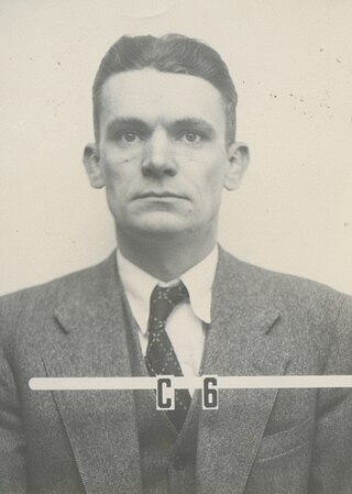
Charles Louis Critchfield was an American mathematical physicist. A graduate of George Washington University, where he earned his PhD in physics under the direction of Edward Teller in 1939, he conducted research in ballistics at the Institute for Advanced Study in Princeton and the Ballistic Research Laboratory at the Aberdeen Proving Ground, and received three patents for improved sabot designs.
Critchfield is a surname. Notable people with the surname include:


