| Dakshini Nanda Devi | |
|---|---|
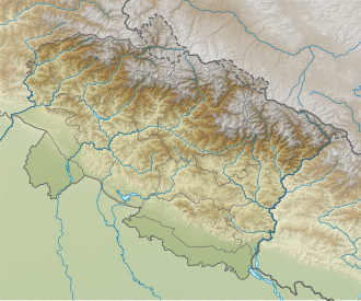  | |
 Interactive map of Dakshini Nanda Devi | |
| Type | Valley glacier |
| Location | India |
| Coordinates | 30°20′20″N79°57′16″E / 30.3388°N 79.9545°E |
Dakshini Nanda Devi Glacier is a glacier in Chamoli district, Uttarakhand, India. With Uttari Nanda Devi Glacier, Dakshini Nanda Devi Glacier flanks Nanda Devi peak [1] [2] and also feeds the Rishiganga river. Nanda Khat is also near.
Contents
Dakshini Nanda Devi Glacier has a retreat of 130 metres (430 ft) per year. [3]