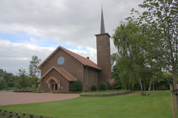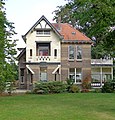
Barneveld is a municipality in the province of Gelderland in the center of the Netherlands. It is known for its poultry industry and large Protestant community. The municipality had a population of 59,992 in 2021, out of which 33,800 (2018) lived in the town itself.

's-Heer Arendskerke is a village in the municipality of Goes in the south-western Netherlands.

Loenen aan de Vecht is a village in the Dutch province of Utrecht. It was the main village in the former municipality of Loenen. Since 2011 it has become part of the newly formed municipality of Stichtse Vecht. It lies about 10 km west of Hilversum.

De Groeve is a village in the Dutch province of Drenthe. It is a part of the municipality of Tynaarlo, and lies about 15 km southeast of Groningen.

's-Gravenpolder is a village in the Dutch province of Zeeland. It is a part of the municipality of Borsele, and lies about 21 kilometres east of Middelburg.

Hoedekenskerke is a village in the Dutch province of Zeeland. It is a part of the municipality of Borsele, and lies about 22 km east of Middelburg.
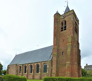
Baarland is a village in the Dutch province of Zeeland. It is a part of the municipality of Borsele, and lies about 21 km east of Middelburg.

Haaften is a village in the Dutch province of Gelderland, on the northern shore of the river Waal, about opposite Zaltbommel. It is a part of the municipality of West Betuwe, and lies about 25 km south of Utrecht.

Kloetinge is a village in the Dutch province of Zeeland. It is located in the municipality of Goes, on the eastern side of the city.

Hoenderloo is a Dutch village located south west of the city of Apeldoorn. Most of the village is part of the municipality of Apeldoorn, but a small part belongs to the municipality of Ede, among which the hamlet Hoog Baarlo.

Dorkwerd is a small village in Groningen, the Netherlands. It is located in the municipality of Groningen, about 4 km northwest of the city center. Recent construction of new residential areas have brought the city to less than 500 meters from the village of Dorkwerd, and the postal authorities have placed it under Groningen.

Ferwert is a village in Noardeast-Fryslân in the province of Friesland, the Netherlands. It had a population of around 1787 in January 2017. Before 2019, the village was part of the Ferwerderadiel municipality.

Hantum is a village in Noardeast-Fryslân in the province of Friesland, the Netherlands. It had a population of around 404 in January 2017. Before 2019, the village was part of the Dongeradeel municipality.

Peazens is a village in Noardeast-Fryslân in the province of Friesland, the Netherlands. It has a population of around 242 in January 2017. Before 2019, the village was part of the Dongeradeel municipality.
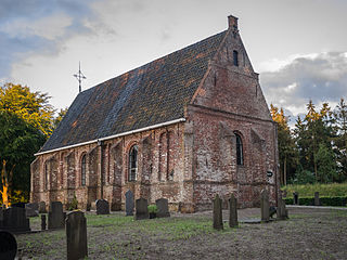
Katlijk is a village in Heerenveen in the province of Friesland, the Netherlands. It had a population of around 610 in 2017.
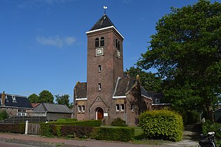
Scharsterbrug is a village in De Fryske Marren in the province of Friesland, the Netherlands. It had a population of around 830 in 2017.

Sintjohannesga is a village in De Fryske Marren municipality in the province of Friesland, the Netherlands. It had a population of around 1280 in 2017.

Uitwellingerga is a village in Súdwest-Fryslân municipality in the province of Friesland, the Netherlands. It had a population of around 355 in January 2017.

Persingen is a village situated in the municipality of Berg en Dal in the province of Gelderland. In 2021, Persingen had 105 inhabitants. The village claims to be the smallest village of the Netherlands for tourist reasons, however there are many more contestants who are much smaller; the former island of Schokland and the former squatter village of Ruigoord have the best credentials.

Miedum is a hamlet in Leeuwarden municipality in the province of Friesland, the Netherlands.
