The Island of Montreal is a large island in southwestern Quebec, Canada, that is the site of a number of municipalities, including most of the city of Montreal, and is the most populous island in Canada. It is the main island of the Hochelaga Archipelago at the confluence of the Saint Lawrence and Ottawa rivers.

Mount Royal is a mountain in the city of Montreal, immediately west of Downtown Montreal, Quebec, Canada. The city's name is thought to be derived from the mountain's name.

The Lachine Rapids are a series of rapids on the Saint Lawrence River, between the Island of Montreal and the South Shore. They are confusingly located near the borough of Lasalle and not Lachine. The Lachine Rapids contain large standing waves because the water volume and current do not change with respect to the permanent features in the riverbed, namely its shelf-like drops. Seasonal variation in the water flow does not change the position of the waves, although it does change their size and shape. The rapids are about 4.8 kilometres (3.0 mi) in length. In the past these represented a considerable barrier to maritime traffic. Until the construction of the Lachine Canal through Montreal, the rapids had to be portaged. Even with the canal, the difficulty was such that it was usually more convenient to ship goods by rail to Montreal, where they could be loaded at the city's port. Montreal remains a major rail hub and one of Canada's largest ports for that reason.

Île Bizard is an island near the Island of Montreal in the Hochelaga Archipelago region. It is one of the three populated islands within the city of Montreal, along with the Island of Montreal and Nuns' Island. The island is served by buses 207 and 407.

LaSalle is the most southerly borough (arrondissement) of the city of Montreal, Quebec, Canada. It is located in the south-west portion of the Island of Montreal, along the Saint Lawrence River. Prior to 2002, it was a separate municipality that had been incorporated in 1912.

Verdun is a borough (arrondissement) of the city of Montreal, Quebec, located in the southeastern part of the island.

Notre Dame Island is an artificial island in the Saint Lawrence River in Montreal, Quebec, Canada. It is immediately to the east of Saint Helen's Island and west of the Saint Lawrence Seaway and the city of Saint-Lambert on the south shore. Together with Saint Helen's Island, it makes up Parc Jean-Drapeau, which forms part of the Hochelaga Archipelago. To the southeast, the island is connected to the embankment separating the seaway and Lachine Rapids.

Le Sud-Ouest is a borough (arrondissement) of the city of Montreal, Quebec, Canada.

The Hochelaga Archipelago, also known as the Montreal Islands, is a group of islands at the confluence of the Saint Lawrence and Ottawa rivers in the southwestern part of the province of Quebec, Canada.
Ville-Émard is a neighbourhood located in the Sud-Ouest borough of Montreal, Quebec, Canada.

Little Burgundy is a neighbourhood in the South West borough of the city of Montreal, Quebec, Canada.

Côte-Saint-Paul is a neighbourhood located in the Southwest Borough of Montreal, Quebec, Canada.

The Îles-de-Boucherville National Park is a provincial park along the Saint Lawrence river in the province of Quebec.

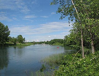
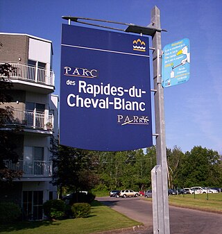
The Rapides du Cheval Blanc known as the White Horse Rapids, traverse the waterways between the Island of Montreal, Pierrefonds-Roxboro, and Sainte-Dorothée in Laval, situated along the Rivière des Prairies in Quebec. This natural phenomenon encompasses not only the rushing rapids but also encompasses a protected wooded area and a public city park, which abuts the rapids. Furthermore, the area is underlain by a significant fault line, contributing to its geological interest.

René Lévesque Park is an urban park in Montreal, Quebec, Canada. It is located in the borough of Lachine on a jetty between the Saint Lawrence River and the end of the Lachine Canal. Approximately 140,000 m2 (1,500,000 sq ft) in area, it is named after René Lévesque, the premier of Quebec from 1976 to 1985.

L'Anse-à-l'Orme Nature Park is a large nature park in the Pierrefonds-Roxboro borough of Montreal, Quebec, Canada.

Ruisseau-De Montigny Nature Park is a large nature park in the Rivière-des-Prairies neighbourhood of the Rivière-des-Prairies–Pointe-aux-Trembles borough of Montreal, Quebec, Canada.

The linear park of the Saint-Charles and Berger rivers is a public linear park of the Quebec city. It runs along the rivers Saint-Charles and du Berger between Saint-Charles Lake and port of Québec. It has a 32 km footpath and a 8 km cycle path on Rivière-Saint-Charles Corridor.


