Dhamura

Last updated
Dhamura
ধামুরা
Village
Bangladesh adm location map.svg
Red pog.svg
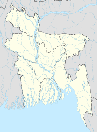
Dhamura
Location in Bangladesh
Coordinates: 22°53′N90°12′E / 22.883°N 90.200°E / 22.883; 90.200
CountryFlag of Bangladesh.svg Bangladesh
Division Barisal Division
District Barisal District
Upazila Wazirpur Upazila
Government
Area
  Total
5.78 km2 (2.23 sq mi)
Population
 (2022)
  Total
10,346
  Density1,790/km2 (4,640/sq mi)
Time zone UTC+6 (Bangladesh Time)

Dhamura is a village in Wazirpur Upazila of Barisal District in the Barisal Division of southern-central Bangladesh. [1] [2]

According to the 2022 Census of Bangladesh, Dhamura had 2,172 households and a population of 10,346. [3] It has a total area of 5.78 km2 (2.23 sq mi). [4]

Notable people

References

  1. Parisaṃkhyāna Byuro (2005). Bangladesh Population Census, 2001: Barisal. Bangladesh Bureau of Statistics, Planning Division, Ministry of Planning, Govt. of the People's Republic of Bangladesh. Retrieved 18 January 2011.
  2. Geographic Names, National Geospatial-Intelligence Agency, accessed 18 January 2011
  3. "COMMUNITY REPORT: BARISHAL" (PDF). Bangladesh Bureau of Statistics (BBS). Retrieved 28 September 2025.
  4. "Small Area Atlas of Bangladesh" (PDF). Bangladesh National Portal, Bangladesh Bureau of Statistics. Bangladesh Bureau of Statistics. Retrieved 10 June 2022.