Related Research Articles

The South Saskatchewan River is a major river in the Canadian provinces of Alberta and Saskatchewan. The river begins at the confluence of the Bow and Oldman Rivers in southern Alberta and ends at the Saskatchewan River Forks in central Saskatchewan. The Saskatchewan River Forks is the confluence of the South and North Saskatchewan Rivers and is the beginning of the Saskatchewan River.

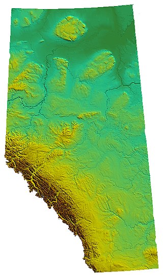
Alberta is one of the thirteen provinces and territories of Canada. Located in Western Canada, the province has an area of 661,190 km2 (255,290 sq mi) and is bounded to the south by the United States state of Montana along 49° north for 298 km (185 mi); to the east at 110° west by the province of Saskatchewan for 1,223 km (760 mi); and at 60° north the Northwest Territories for 644 km (400 mi). The southern half of the province borders British Columbia along the Continental Divide of the Americas on the peaks of the Rocky Mountains, while the northern half borders British Columbia along the 120th meridian west. Along with Saskatchewan it is one of only two landlocked provinces or territories.

The Cypress Hills are a geographical region of hills in southwestern Saskatchewan and southeastern Alberta, Canada. The hills are part of the Missouri Coteau upland. The hills cover an area of approximately 2,500 km2 (970 sq mi). About 400 km2 (150 sq mi) or 16% of this area is an interprovincial park.

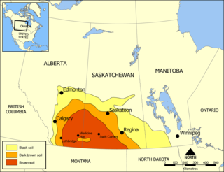
The Missouri Coteau, or Missouri Plateau, is a large plateau that stretches along the eastern side of the valley of the Missouri River in central North Dakota and north-central South Dakota in the United States. In the Canadian provinces of Saskatchewan and Alberta this physiographic region is classified as the Uplands Missouri Coteau, which is a part of the Great Plains Province or Alberta Plateau Region, which extends across the southwest corner of the province of Saskatchewan as well as the southeast corner of the province of Alberta. Historically, in Canada the area was known as the Palliser's Triangle and regarded as an extension of the Great American Desert and unsuitable for agriculture and thus designated by Canadian geographer and explorer John Palliser. The terrain of the Missouri Coteau features low hummocky, undulating, rolling hills, potholes, and grasslands. Apart from being a geographical area, the Missouri Coteau also has a cultural connection to the people of the area, the Métis people of South Dakota, along with other Indigenous groups. The history of this plateau is large, and the Missouri Coteau has a significance to these people.

The District of Alberta was one of four districts of the Northwest Territories created in 1882. It was styled the Alberta Provisional District to distinguish it from the District of Keewatin which had a more autonomous relationship from the NWT administration. The modern province of Alberta was created in 1905 from the District of Alberta and parts of the Districts of Athabasca, Assiniboia and Saskatchewan.

The District of Athabasca was a regional administrative district of Canada's Northwest Territories. It was formed in 1882, was later enlarged, and then abolished with the creation of the provinces of Saskatchewan and Alberta in 1905. The very easternmost part is now within Manitoba.

The Athabasca Basin is a region in the Canadian Shield of northern Saskatchewan and Alberta, Canada. It is best known as the world's leading source of high-grade uranium and currently supplies about 20% of the world's uranium.

Beaver River is a large river in east-central Alberta and central Saskatchewan, Canada. It flows east through Alberta and Saskatchewan and then turns sharply north to flow into Lac Île-à-la-Crosse on the Churchill River which flows into Hudson Bay.

Turtleford is a town in the Rural Municipality of Mervin No. 499, in the Canadian province of Saskatchewan. Turtleford is located on Highway 26 near the intersection / concurrency with Highway 3 and Highway 303. The nearest cities are North Battleford and Lloydminster. The Turtlelake River runs through Turtleford, and nearby are Brightsand Lake and Turtle Lake.

Canoe Lake is a lake in north-western Canadian province of Saskatchewan. Settlements on the lake include Canoe Narrows, Cole Bay, Jans Bay. The lake is accessed from Highways 965 and 903. On the western shore is a provincial recreation site called Canoe Lake Recreation Site. The Canoe River flows east from the lake to Lac Île-à-la-Crosse.
Turnor Lake is a community on the southern shore of Turnor Lake. From Highway 155 it is accessible by Highway 909. The community includes the Northern Hamlet of Turnor Lake and Turnor Lake 193B of the Birch Narrows First Nation.
Simpson Pass, el. 2,107 m (6,913 ft), is a mountain pass on the border between the Canadian provinces of Alberta and British Columbia, in the area of the Ball Range. It is the prominence col for Mount Ball on the Continental Divide in the vicinity of Sunshine Village ski resort. Simpson River and Simpson Pass are named after Sir George Simpson who first explored the area in 1841.

Peter Pond Lake is a glacial lake in the north-western part of the Canadian province of Saskatchewan. It is located in the boreal forest and Canadian Shield within the Churchill River drainage basin.
St. George's Hill is a northern hamlet in the Canadian prairie province of Saskatchewan. It is located where the Highway 925 spans the Dillon River about 10 kilometres south of Dillon. The mayor is Donna Janvier.

The Buffalo River Dene Nation is a Dene First Nations band government in Saskatchewan, Canada. The band's main community, Dillon, is located on the western shore of Peter Pond Lake at the mouth of the Dillon River, and is accessed by Highway 925 from Highway 155.

Birch Narrows Dene Nation is a Dene First Nation band government in the boreal forest region of northern Saskatchewan, Canada. It is affiliated with the Meadow Lake Tribal Council (MLTC).

Lac Île-à-la-Crosse is a Y-shaped lake in the north-central region of the Canadian province of Saskatchewan along the course of the Churchill River. At the centre of the "Y" is the town of Île-à-la-Crosse, the second oldest town in Saskatchewan. Situated at the confluence of the Churchill and Beaver Rivers, the lake was an important fur trading centre in the 18th and 19th centuries. The lake, and the community of Île-à-la-Crosse, are named after the game of Lacrosse as French voyageurs had witnessed local Indians playing the game on an island in the lake.
Graham Creek is a stream in Alberta, Canada. It is a tributary of the Landels River. Its source is Graham Lake in Saskatchewan, just to the east of the Alberta border. From the lake, Graham Creek flows east into Alberta then north-east to Landels River, which flows into the Winefred River which flows into the Christina River.
Dillon is an unincorporated community in the boreal forest of northern Saskatchewan, Canada. It is located on the western shore of Peter Pond Lake at the mouth of the Dillon River. The community is the administrative headquarters of the Buffalo River Dene Nation and is accessed by Highway 925 from Highway 155.
References
- ↑ "Dillon River". Geographical Names Data Base . Natural Resources Canada.
- ↑ Place-names of Alberta. Ottawa: Geographic Board of Canada. 1928. p. 43.
55°55′38″N108°57′08″W / 55.9272°N 108.9523°W