
Yankton County is a county in the U.S. state of South Dakota. As of the 2020 census, the population was 23,310, making it the 9th most populous county in South Dakota. Its county seat is Yankton. Yankton County comprises the Yankton, SD Micropolitan Statistical Area.

Bon Homme County is a county in the U.S. state of South Dakota. As of the 2020 census, the population was 7,003. Its county seat is Tyndall.

Yankton is a city in and the county seat of Yankton County, South Dakota, United States. It became a city in 1889.

U.S. Route 81 or U.S. Highway 81 (US 81) is a major north–south U.S. highway that extends for 1,220 miles (1,960 km) in the central United States and is one of the original United States Numbered Highways established in 1926 by the American Association of State Highway Officials.
George Shannon, the youngest member of the Lewis and Clark Expedition, was born in Pennsylvania of Irish ancestry. He joined the Corps of Discovery in August 1803, as one of the three men from Pittsburgh recruited by Lewis as he was waiting for the completion of the voyage's vessels in the city.

The Lewis and Clark National Historic Trail is a route across the United States commemorating the Lewis and Clark Expedition of 1804 to 1806. It is part of the National Trails System of the United States. It extends for some 4,900 miles (7,900 km) from Pittsburgh, Pennsylvania, to the mouth of the Columbia River in Oregon.

Lewis and Clark Lake is a 31,400 acre (130 km2) reservoir located on the border of the U.S. states of Nebraska and South Dakota on the Missouri River. The lake is approximately 25 miles (40 km) in length with over 90 miles (140 km) of shoreline and a maximum water depth of 45 feet (14 m). The lake is impounded by Gavins Point Dam and is managed by the U.S. Army Corps of Engineers, Omaha District.
The Missouri National Recreational River is a National Recreational River located on the border between Nebraska and South Dakota. The designation was first applied in 1978 to a 59-mile section of the Missouri River between Gavins Point Dam and Ponca State Park. In 1991, an additional 39-mile section between Fort Randall Dam and Niobrara, Nebraska, was added to the designation. These two stretches of the Missouri River are the only parts of the river between Montana and the mouth of the Missouri that remain undammed or unchannelized. The last 20 miles of the Niobrara River and 6 miles of Verdigre Creek were also added in 1991.
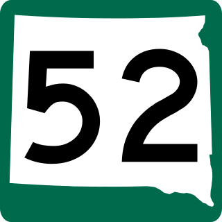
South Dakota Highway 52 is a state route that runs just north of the Missouri River, across southeast South Dakota. It begins at a junction with South Dakota Highway 37 north of Springfield, and terminates in Yankton at U.S. Highway 81, at the junction of 4th and Broadway Streets. It is 37 miles (60 km) in length.

South Dakota Highway 19 (SD 19) is a 86.974-mile (139.971 km) state highway in southeastern South Dakota, United States. It connects the Nebraska state line, south of Vermillion, with the southeastern part of the Madison area, via Viborg, Hurley, Parker, and Humboldt. SD 19 formerly entered Centerville, but was shifted to the south. Its former path was redesignated as SD 19A. Its former southern terminus was at Vermillion, but was extended when a new bridge from Nebraska opened.
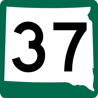
South Dakota Highway 37 is a state route that runs across eastern South Dakota. It begins at the Nebraska border northeast of Niobrara, Nebraska, as a continuation of Nebraska Highway 14. It runs to the North Dakota border north of Hecla, where it continues as North Dakota Highway 1. It is 242 miles (389 km) in length.
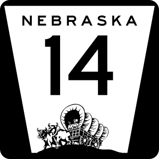
Nebraska Highway 14 (N-14) is a highway in the U.S. state of Nebraska. It has a southern terminus at the Kansas border, where it continues south as K-14, southwest of Superior and a northern terminus east of Niobrara at the South Dakota border.

The Chief Standing Bear Memorial Bridge is a bridge across the Missouri River at the Nebraska-South Dakota border. Located near Niobrara, Nebraska, not far downstream from the confluence of the Niobrara River with the Missouri, it joins Nebraska Highway 14 to South Dakota Highway 37.

The Vermillion–Newcastle Bridge is a Nebraska and South Dakota Border crossing of the Missouri River. It joins Nebraska Highway 15 to South Dakota Highway 19.

The Meridian Highway Bridge is a bridge that formerly carried U.S. Route 81 across the Missouri River between Nebraska and South Dakota. The Meridian Highway Bridge connects Yankton, South Dakota with rural Cedar County, Nebraska. The Meridian Bridge is a double-deck bridge, with the top level having carried traffic into South Dakota from Nebraska, and the lower level having carried traffic into Nebraska from South Dakota. It was closed to all traffic in 2008, but reopened for use only by pedestrians and bicycles in 2011.

Interstate 29 (I-29) is a north–south Interstate Highway in the midwestern United States. In the state of South Dakota, I-29 traverses on the eastern side of the state from the Iowa border near Sioux City to the North Dakota border near New Effington. On its route, I-29 passes through western portions of Sioux Falls, the state's largest city. It travels 252.5 miles (406.4 km) in the state, the longest stretch of any of the four states through which it passes. I-229, the highway's lone auxiliary route in South Dakota, serves as a bypass around southern and eastern Sioux Falls.

Transportation in Omaha, Nebraska, includes most major modes, such as pedestrian, bicycle, automobile, bus, train and airplane. While early transportation consisted of ferries, stagecoaches, steamboats, street railroads, and railroads, the city's transportation systems have evolved to include the Interstate Highway System, parklike boulevards and a variety of bicycle and pedestrian trails. The historic head of several important emigrant trails and the First transcontinental railroad, its center as a national transportation hub earned Omaha the nickname "Gate City of the West" as early as the 1860s.
The history of South Dakota describes the history of the U.S. state of South Dakota over the course of several millennia, from its first inhabitants to the recent issues facing the state.
This timeline of South Dakota is a list of events in the history of South Dakota by year.

Lake Yankton, also called Cottonwood Lake, is an artificial lake that was originally part of the main channel of the Missouri River on the border of the U.S. States of Nebraska and South Dakota, near Yankton, South Dakota. The lake has an approximate surface area of 250 acres (100 ha) and has a maximum depth of 18 feet (5.5 m). The lake is located immediately downstream (east) of Gavins Point Dam and Lewis and Clark Lake, located just north of the current location of the main channel of the Missouri River.

