Donatyre | |
|---|---|
 Coat of arms | |
Location of Donatyre  | |
 Donatyre 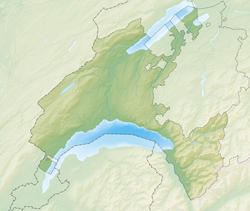 Donatyre | |
| Coordinates: 46°53′N07°03′E / 46.883°N 7.050°E | |
| Country | Switzerland |
| Canton | Vaud |
| District | Avenches |
| Area | |
• Total | 1.11 km2 (0.43 sq mi) |
| Elevation | 505 m (1,657 ft) |
| Population (2003) | |
• Total | 140 |
| • Density | 130/km2 (330/sq mi) |
| Time zone | UTC+01:00 (Central European Time) |
| • Summer (DST) | UTC+02:00 (Central European Summer Time) |
| Postal code(s) | 1582 |
| SFOS number | 5457 |
| ISO 3166 code | CH-VD |
| Surrounded by | Avenches, Misery-Courtion (FR), Villarepos (FR) |
| Website | Profile (in French), |
Donatyre is a village in the district of Avenches of the Canton of Vaud, Switzerland. Since losing its status as an independent municipality on 1 July 2006, it has been part of the municipality of Avenches. [1]
The village, which follows the old Roman wall of Aventicum, [2] contains a chapel dedicated to Saint Thecla.