
Ben Vorlich is a Scottish mountain situated between the northernmost section of Loch Lomond and Loch Sloy. It is one of the Arrochar Alps, though it lies separate from the other peaks in the range, as indicated by the large topographic prominence. It is the highest point of the historic county of Dunbartonshire.
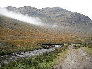
Stob a'Choin is a mountain in the Grampian Mountains, Scotland, north of Loch Katrine in the Loch Lomond and The Trossachs National Park.
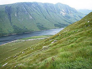
Beinn Trilleachean is a mountain in the Grampian Mountains, north of the village of Taynuilt at the head of Loch Etive. It lies on the border of Highland and Argyll and Bute.
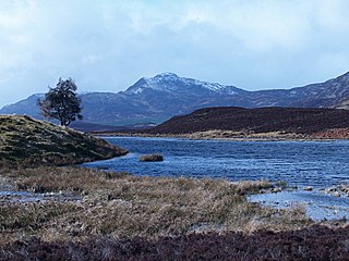
Farragon Hill is a peak in the foothills of the Grampian Mountains of Scotland. It lies above the town of Aberfeldy in Perthshire.

Sgor Gaibhre is a mountain in the Grampian Mountains of Scotland. It lies on the border of Highland and Perth and Kinross, near Loch Ossian.

Geal Charn is a mountain in the Grampian Mountains of Scotland. It is situated in the Highlands, on the southern shore of Loch Laggan.

Beinn Ruadh is a mountain of Argyll and Bute in Scotland. Part of the Grampian Mountains, it lies between Loch Eck and Loch Long in Argyll Forest Park.

Beinn Bhreac is a mountain in Argyll and Bute, Scotland. It is part of the Luss Hills, a southern subrange of the Grampian Mountains.

Beinn na Gucaig is a mountain in the Grampian Mountains of Scotland, located south of Fort William in Lochaber.

Meall Corranaich is a mountain in the Grampian Mountains of Scotland. It lies on the northern shore of Loch Tay in Perthshire, and is part of the Ben Lawers group.

Meall Tairneachan is a mountain in the Grampian Mountains of Scotland, located northwest of Aberfeldy in Perthshire.

Beinn Bheoil is a mountain in the Grampian Mountains of Scotland, located on the western shore of Loch Ericht in Highland.

Carn Dearg is a remote mountain in the Grampian Mountains of Scotland. It lies east of Rannoch Moor, on the border of Highland and Perthshire.
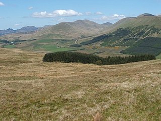
Beinn a' Mhanaich is a hill in the southern Grampian Mountains of Scotland. It is located in Argyll and Bute, in the southern Luss Hills north of the town of Helensburgh.

Creag Ghuanach is a mountain in the Grampian Mountains of Scotland. It is located in Lochaber, at the southern head of Loch Treig.

Creach Bheinn is a mountain in the Grampian Mountains of Scotland. It rises above the head Loch Creran in Argyll.
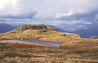
Beinn a' Choin is a mountain in the Grampian Mountains of Scotland. It lies on the border of the Sterling region and Argyll at the northern end of Loch Lomond.
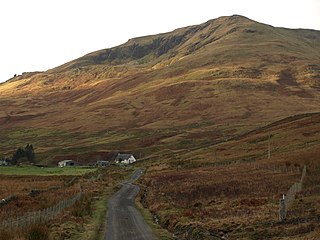
Tullich Hill is a hill in the southern Grampian Mountains of Scotland. It lies south of the village of Arrochar, between Loch Long and Loch Lomond in Argyll.

Beinn Chaorach is a hill in the southern foothills of the Grampian Mountains of Scotland. It lies in the Luss Hills of Argyll and Bute, between Loch Lomond and Loch Long.

The Luss Hills are a hill range located in Argyll, Scotland. They are part of the southern foothills of the Grampian Mountains and lie west of Loch Lomond, above the village of Luss in the Loch Lomond and The Trossachs National Park.


