| Draupadi Ka Danda | |
|---|---|
 The summit of Draupadi Ka Danda II | |
| Highest point | |
| Elevation | 5,670 m (18,600 ft) |
| Listing | List of mountain peaks of Uttarakhand |
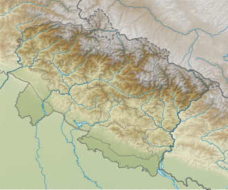
| Coordinates | 30°50′06″N78°48′32″E / 30.83500°N 78.80889°E |
| Geography | |
 Draupadi Ka Danda  Draupadi Ka Danda | |
| Parent range | Garhwal Himalaya |
Draupadi Ka Danda (English: Draupadi's Hill) are two peaks in the Gangotri range of Garhwal Himalaya in Uttarakhand, India. [1] The Dokriani glacier emerges from the northern slope of the mountain. [2]
Contents
The heights of the peaks are uncertain. In various literature, elevation has been reported as 5,670 metres, 5716m or sometimes above 6000m. [3] [4]
On the morning of 4 October 2022, a team of 41 climbers from Nehru Institute of Mountaineering attempting Draupadi Ka Danda II were hit by an avalanche a few hundred meters below the summit. [5] The team comprised 34 advance mountaineering course trainees and seven instructors. The bodies of 27 climbers were recovered during rescue operations, but two mountaineers could not be found. [6] [7]