| Location | |
|---|---|
 El Dorado 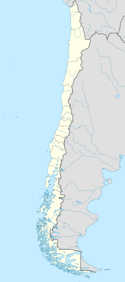 El Dorado | |
| Coquimbo Region | |
| Country | Chile |
| Coordinates | 30°33′37.00″S71°13′33.82″W / 30.5602778°S 71.2260611°W |
| Production | |
| Products | Iron ore concentrate |
| Production | 4,500 to 100,000 tons contrate per month [1] |
| Financial year | 2022 |
| Owner | |
| Company | Sociedad de Inversiones Tierra del Fuego |
El Dorado is an open-pit iron mine near the city of Ovalle in north-central Chile, located 98 km southeast from the port of Coquimbo. [2] A 1946 economic geology study by Carlos Ruiz Fuller and co-workers estimated the ore grade in El Dorado at 68% Fe, one of the highest in the Chilean Iron Belt. [3] The mine had its main period of activity from 1952 to 1966 under the ownership of Compañía Minera Santa Fe but mining continued sporadically until 1971. [4] The opening and successful operation of the mine in the 1950s –producing 45,000 tons of ore per month for much of that decade [5] – is considered to have paved the way for the rise of the medium-scale iron mining in Chile in the 1960s and 1970s. [6] [7]
In the 2020s the mine have been operated and owned by Sociedad de Inversiones Tierra del Fuego Limitada with permits limited to extracting material from old waste rock dumps. [1] [4] In connection to this activity the mining company has been accused to engage in non-authorized mining of fresh ore. [1]