
Launceston is a city in the north of Tasmania, Australia, at the confluence of the North Esk and South Esk rivers where they become the Tamar River (kanamaluka). As of 2021, the Launceston urban area has a population of 90,953. Launceston is the second most populous city in Tasmania after the state capital, Hobart. Launceston is the fifth-largest inland city and the ninth-largest non-capital city in Australia. Launceston is regarded as the most livable regional city, and was one of the most popular regional cities to move to in Australia from 2020 to 2021. Launceston was named Australian Town of the Year in 2022.
The history of Tasmania begins at the end of the Last Glacial Period when it is believed that the island was joined to the Australian mainland. Little is known of the human history of the island until the British colonisation of Tasmania in the 19th century.

Deloraine is a town on the Meander River, in the central north of Tasmania, Australia. It is 50 km west of Launceston and 52 km south of Devonport along the Bass Highway. It is part of the Meander Valley Council. Deloraine recorded a population of 3,035 in the 2021 census. Deloraine, like most Tasmanian towns, has a temperate and wet climate.

Longford is a town in the northern midlands of Tasmania, Australia. It lies 145 m above sea level at the convergence of the Macquarie River and the South Esk River, 21 km south of Launceston and a 15-minute drive from the airport. It is just south of the Illawarra Road, a road connecting the Bass and Midland Highways. It has a population of 3,863 and is part of the Northern Midlands Council area. The region is predominantly agricultural, noted for wool, dairy produce and stock breeding.
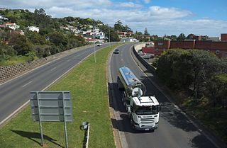
The Bass Highway is a highway in Tasmania, Australia. It connects the three cities across the north of the state – Burnie, Devonport and Launceston. The road was named due to its proximity to the Bass Strait. It is a part of the National Highway, designated as National Highway 1, together with the Midland and Brooker highways in Tasmania.
Westbury is a town in the central north of Tasmania, Australia. It lies 30 km west of Launceston on the Bass Highway, and at the 2021 census had a population of 2,272. It is part of, and the headquarters of, the Meander Valley Council area.
Meander is a rural locality and town in the local government area of Meander Valley in the Launceston region of Tasmania. The locality is about 34 kilometres (21 mi) south-west of the town of Westbury. The 2016 census has a population of 328 for the state suburb of Meander.

Bracknell is a rural locality and town in the local government areas of Meander Valley and Northern Midlands in the Launceston and Central regions of Tasmania. The locality is about 22 kilometres (14 mi) south-east of the town of Westbury. The 2016 census has a population of 459 for the state suburb of Bracknell.

Caveside is a rural locality in the local government area of Meander Valley in the Launceston region of Tasmania. The locality is about 45 kilometres (28 mi) south-west of the town of Westbury. It lies between the Great Western Tiers to the south and Mole Creek to the north. The 2016 census has a population of 133 for the state suburb of Caveside.

Carrick is a small historic village 17 kilometres (11 mi) west of Launceston, Tasmania, Australia, on the banks of the Liffey River. The Meander Valley Highway passes through the town's centre; this road was formerly the main road from Launceston to Deloraine and Devonport. Carrick has a well-preserved 19th-century heritage; fifteen of its colonial buildings are listed on the Tasmanian Heritage Register including Carrick House (1840), St Andrew's Church (1848), the Old Watch house (1837), Monds Roller Mill (1846) and the Carrick Hotel (1833).

Mole Creek is a town in the upper Mersey Valley, in the central north of Tasmania, Australia. Mole Creek is well known for its honey and accounts for about 35 percent of Tasmania's honey production. The locality is in the Meander Valley Council area, but with about 3% in the Kentish Council LGA.

The Tasmanian Government Railways (TGR) was the former operator of the mainline railways in Tasmania, Australia. Formed in 1872, the railway company was managed by the Government of Tasmania, and existed until absorption into the Australian National Railways Commission in 1978.
The Western Line, previously known as the Launceston and Western Line, is a 223 km freight rail corridor that runs from Western Junction to Wiltshire in Tasmania, Australia.

Hadspen is a town on the South Esk River in the north of Tasmania, Australia, 8 kilometres (5.0 mi) south west of Launceston. Hadspen has few commercial establishments and is primarily a residential suburb of nearby Launceston. Most of the town's buildings are residential, and relatively recent. The town's population of just over 2000 has grown rapidly from only a few hundred in the 1960s, and there are development plans that call for its doubling.

Henry Hunter (1832–1892) was a prominent architect and civil servant in Tasmania and Queensland, Australia. He is best known for his work on churches. During his life was also at various times a state magistrate of Tasmania, a member of the Tasmanian State Board of Education, the Hobart Board of Health, a Commissioner for the New Norfolk Insane Asylum and President of the Queensland Institute of Architects.
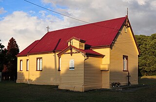
Whitemore is a rural locality and small town in the local government area of Meander Valley in the Launceston region of Tasmania. The locality is about 11 kilometres (6.8 mi) south-east of the town of Westbury. The 2016 census has a population of 198 for the state suburb of Whitemore.

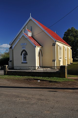
Hagley is a rural locality and town in the local government area of Meander Valley in the Launceston region of Tasmania. The locality is about 5 kilometres (3.1 mi) north-east of the town of Westbury. The 2016 census has a population of 335 for the state suburb of Hagley.
Exton is a rural locality in the local government area of Meander Valley in the Launceston region of Tasmania. The locality is about 10 kilometres (6.2 mi) west of the town of Westbury. It lies on the outskirts of Deloraine, that lies next to the railway line from Launceston to Devonport. Its population was estimated at 200 in 1932, and the 2011 census reported the area of Reedy Marsh, which incorporated Exton, had a population of 309 people. The 2016 census has a population of 154 for the state suburb of Exton.
Chudleigh is a rural locality in the local government area of Meander Valley in the Launceston region of Tasmania. The locality is about 37 kilometres (23 mi) west of the town of Westbury. The 2016 census has a population of 203 for the state suburb of Chudleigh.

