Esquipulas Airport | |||||||||||
|---|---|---|---|---|---|---|---|---|---|---|---|
| Summary | |||||||||||
| Airport type | Public | ||||||||||
| Serves | Esquipulas, Guatemala | ||||||||||
| Elevation AMSL | 3,114 ft / 949 m | ||||||||||
| Coordinates | 14°34′05″N89°19′30″W / 14.56806°N 89.32500°W Coordinates: 14°34′05″N89°19′30″W / 14.56806°N 89.32500°W | ||||||||||
| Map | |||||||||||
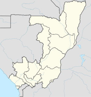
 MGES Location in Chiquimula Department  MGES Location in Guatemala | |||||||||||
| Runways | |||||||||||
| |||||||||||
Esquipulas Airport( ICAO : MGES) is an airstrip serving the city of Esquipulas in Chiquimula Department, Guatemala.

The ICAOairport code or location indicator is a four-letter code designating aerodromes around the world. These codes, as defined by the International Civil Aviation Organization and published in ICAO Document 7910: Location Indicators, are used by air traffic control and airline operations such as flight planning.

Esquipulas, officially Municipality of Esquipulas, whose original name was Yzquipulas, is the largest city located in the department of Chiquimula, in eastern Guatemala. Esquipulas' main attraction is the beautiful Black Christ located in the Basilica of Esquipulas, making the city an important place of Catholic pilgrimage for Central America. It is also one of the most important cities of the country and one that has had the most economic and cultural growth.

Chiquimula is one of the 22 departments of Guatemala, in Central America. The departmental capital is also called Chiquimula. The department was established by decree in 1871, and forms a part of the northeastern region of Guatemala. Physically, it is mountainous, with a climate that varies between tropical and temperate, according to location.
Contents
The airstrip is 2 kilometres (1.2 mi) east of the city and 6 kilometres (4 mi) from the border with Honduras. There is rising terrain 1 kilometre (0.6 mi) south of the runway.

Honduras, officially the Republic of Honduras, is a country in Central America. In the past, it was sometimes referred to as "Spanish Honduras" to differentiate it from British Honduras, which later became modern-day Belize. The republic of Honduras is bordered to the west by Guatemala, to the southwest by El Salvador, to the southeast by Nicaragua, to the south by the Pacific Ocean at the Gulf of Fonseca, and to the north by the Gulf of Honduras, a large inlet of the Caribbean Sea.