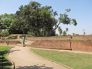
Amdanga is a community development block that forms an administrative division in North 24 Parganas district in the Indian state of West Bengal.

Deganga is a community development block that forms an administrative division in North 24 Parganas district in the Indian state of West Bengal.
Gaighata is a community development block that forms an administrative division in Bangaon subdivision of North 24 Parganas district in the Indian state of West Bengal.
Sandeshkhali I is a community development block that forms an administrative division in Basirhat subdivision of North 24 Parganas district in the Indian state of West Bengal.
Onda is a community development block that forms an administrative division in the Bankura Sadar subdivision of the Bankura district in the Indian state of West Bengal.
Suti I is a community development block that forms an administrative division in the Jangipur subdivision of Murshidabad district in the Indian state of West Bengal.
Swarupnagar is a community development block that forms an administrative division in Basirhat subdivision of North 24 Parganas district in the Indian state of West Bengal.
Jalangi is a community development block that forms an administrative division in the Domkol subdivision of Murshidabad district in the Indian state of West Bengal.
Burwan is a community development block that forms an administrative division in the Kandi subdivision of Murshidabad district in the Indian state of West Bengal.
Bhagawangola I is a community development block that forms an administrative division in the Lalbag subdivision of Murshidabad district in the Indian state of West Bengal.
Raghunathganj I is a community development block that forms an administrative division in the Jangipur subdivision of Murshidabad district in the Indian state of West Bengal.
Habra II is a community development block that forms an administrative division in Barasat Sadar subdivision of North 24 Parganas district in the Indian state of West Bengal.
Basirhat II is a community development block that forms an administrative division in Basirhat subdivision of North 24 Parganas district in the Indian state of West Bengal.
Sandeshkhali-II is a community development block that forms an administrative division in Basirhat subdivision of North 24 Parganas district in the Indian state of West Bengal.
Beldanga I is a community development block that forms an administrative division in the Berhampore subdivision of Murshidabad district in the Indian state of West Bengal.
Beldanga II is a community development block that forms an administrative division in he Berhampore subdivision of Murshidabad district in the Indian state of West Bengal.
Domkal is a community development block that forms an administrative division in the Domkol subdivision of Murshidabad district in the Indian state of West Bengal.
Raninagar II is a community development block that forms an administrative division in the Domkol subdivision of Murshidabad district in the Indian state of West Bengal.
Suti II is a community development block that forms an administrative division in the Jangipur subdivision of Murshidabad district in the Indian state of West Bengal. Aurangabad is the census town of Suti II block.
Lalgola is a community development block that forms an administrative division in the Lalbag subdivision of Murshidabad district in the Indian state of West Bengal.

