
State Road 100 is a 153-mile-long (246 km) east–west highway serving northeast Florida. Its western terminus is at the Georgia-Florida border four miles (6.4 km) north of Avoca, Florida ; its eastern terminus is an intersection with Shore Scenic Highway in Flagler Beach. The portion west of Lake City is only signed as portions of US 41 and US 129, both of which run north–south.
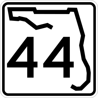
State Road 44 is an east–west state highway in the U.S. state of Florida. It runs from Crystal River on the Gulf of Mexico east to New Smyrna Beach on the Atlantic Ocean, passing through Inverness, Wildwood, Leesburg and DeLand.

State Road 46 is an east–west route in central Florida, running from U.S. Route 441 in Mount Dora to US 1 in Mims. Along the way, it crosses the Wekiva River and, further east, the St. Johns River near the Econlockhatchee River.

State Road 26 is a 62.172-mile-long (100.056 km) east–west route across North Central Florida.

State Road 19 is a Florida State Road in Putnam, Marion, and Lake counties. It runs from Groveland to Palatka through Ocala National Forest. Along with SR 33, SR 19 provides a mostly rural north-south corridor through central Florida from Lakeland to Palatka.

U.S. Highway 17 (US 17) in Florida is a north–south United States Numbered Highway that runs 317 miles (510 km) from the Punta Gorda, Florida Metropolitan Statistical Area northeast to the Jacksonville metropolitan area.

U.S. Highway 27 (US 27) in Florida is a north–south United States Numbered Highway. It runs 496.352 miles (798.801 km) from the Miami metropolitan area northwest to the Tallahassee metropolitan area. Throughout the state, US 27 has been designated the Claude Pepper Memorial Highway by the Florida Legislature. It was named after long-time Florida statesperson Claude Pepper, who served in both the U.S. Senate and House of Representatives. The stretch running from Miami to South Bay was originally designated the Thomas E. Will Memorial Highway by the Florida Legislature in 1937 when that portion was known as State Road 26 (SR 26). Thomas E. Will, the founder of Okeelanta, had worked for almost 20 years to get the state to build a road from Miami to the area south of Lake Okeechobee. For most of its length in the state, US 27 is a divided highway.

U.S. Highway 41 (US 41) in the state of Florida is a north–south United States Highway. It runs 479 miles (771 km) from Miami in South Florida northwest to the Georgia state line north of the Lake City area. Within the state, US 41 is paralleled by Interstate 75 (I-75) all the way from Miami to Georgia, and I-75 has largely supplanted US 41 as a major highway.

U.S. Route 90 (US 90) in the state of Florida is the northernmost east–west United States Numbered Highway in the state. US 90 passes through the county seats of all 15 counties on its course in Florida, and it is also the road upon which many of the county courthouses are located. It is never more than six miles (9.7 km) from Interstate 10 (I-10) throughout the state. It runs as a two-lane highway through most of the sparsely populated inland areas of the Florida Panhandle, widening to four lanes through and near several towns. The speed limit is 55 mph (89 km/h) for all rural points west of Monticello, and it is 60 mph (97 km/h) on all rural points from where it enters Madison County as far as Glen St. Mary.

U.S. Route 98 is a major east-west thoroughfare through the U.S. state of Florida. Spanning 670.959 miles (1,079.804 km), it connects Pensacola and the Alabama/Florida state line to the west with Palm Beach and the Atlantic coast in the east. It is the longest US road in Florida, as well as the longest US road in any state east of the Mississippi River.

U.S. Route 129 (US 129) in Florida is a north–south United States Highway. It runs 88 miles (142 km) from Chiefland north to the Georgia State Line in Levy, Gilchrist, Suwannee, and Hamilton Counties.

U.S. Route 301 in Florida runs from the Sarasota-Bradenton-Venice, Florida Metropolitan Statistical Area northeast to the Greater Jacksonville Metropolitan Area. The road is a spur of U.S. Route 1, which it intersects in Callahan.

U.S. Route 441 (US 441) in Florida is a north–south United States Highway. It runs 433 miles (697 km) from Miami in South Florida northwest to the Georgia state line, with the overall route continuing to Tennessee in the Rocky Top area.

State Road 69 is a road running through Calhoun and Jackson counties in northwest Florida. The road is almost entirely two-lanes wide.
U.S. Route 129 (US 129) is a 375-mile-long (604 km) U.S. Highway in the U.S. state of Georgia. It travels south-to-north from the Florida state line, south of Statenville, to the North Carolina state line, northwest of Blairsville.
U.S. Route 441 (US 441) in the U.S. state of Georgia is a 354.2-mile-long (570.0 km) north–south United States Highway through the east-central portion of the state. It travels from the Florida state line near the Fargo city area to the North Carolina state line, in the northern part of Dillard. It is a spur route of US 41, although it has no intersections with its "parent" route within the state. It does have an intersection with another spur route of US 41 however, specifically US 341 in McRae–Helena.
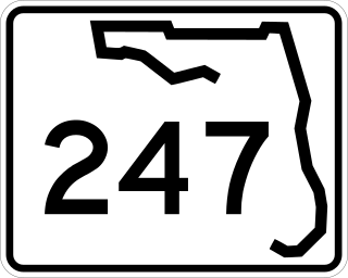
State Road 247 is a southwest to northeast state highway between U.S. Route 129 in Branford, Suwannee County, Florida and US 90 in Lake City, Columbia County, Florida. It is almost entirely a two-lane undivided highway except at its termini, and some intersections, where it contains left-turn lanes. Between its termini, SR 247 intersects with no state roads other than former ones.
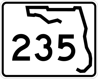
State Road 235 is a south–north state highway in Alachua County, Florida. It runs from U.S. Route 441 in Alachua to Brooker, and has county-maintained segments in Alachua and Bradford Counties, which were once part of SR 235.

