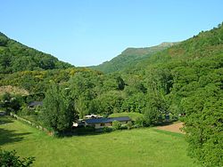
Lugo is a province of northwestern Spain, in the northeastern part of the autonomous community of Galicia. It is bordered by the provinces of Ourense, Pontevedra, and A Coruña, the principality of Asturias, the State of León, and in the north by the Cantabrian Sea.
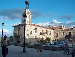
Pantón is a municipality in the province of Lugo, in the autonomous community of Galicia, Spain. It is located in a mountainous district in the comarca of Terra de Lemos, watered by the multiple rivers like the Miño, Cabe and Sil. Its population in 2002 was 3,377.

Eugenio Novo Neira, known as Uxío Novoneyra, was a Galician poet, journalist and writer of children's literature from Galicia, Spain.

Sober, is a municipality in the province of Lugo, in the autonomous community of Galicia, Spain. It belongs to the comarca of Terra de Lemos, being part of the local region of Ribeira Sacra.

O Corgo, is a municipality in the province of Lugo, in the autonomous community of Galicia, Spain. It belongs to the comarca of Lugo.
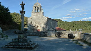
Taboada is a municipality in the province of Lugo, in the autonomous community of Galicia, Spain. It belongs to the comarca of Chantada. Taboada is a natural entry to the Ribeira Sacra.
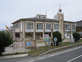
Becerreá is a municipality in the province of Lugo, in the autonomous community of Galicia, Spain. It belongs to the comarca of Os Ancares.

Carballedo is a municipality in the province of Lugo, in the autonomous community of Galicia, northwestern Spain. It belongs to the comarca of Chantada.
Samos is a municipality in the province of Lugo in the autonomous community of Galicia, Spain. It belongs to the comarca of Sarria.

Guntín is a municipality in the province of Lugo, in the autonomous community of Galicia, Spain. It belongs to the comarca of Lugo.

Láncara is a municipality in the province of Lugo, in the autonomous community of Galicia, Spain. It belongs to the comarca of Sarria.

Navia de Suarna, is a municipality in the province of Lugo, in the autonomous community of Galicia, northwestern Spain. It belongs to the comarca of Os Ancares.
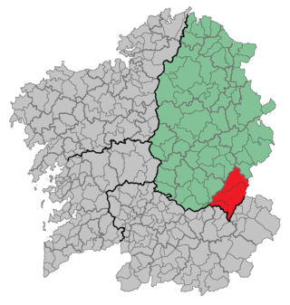
Quiroga is a comarca in the Galician Province of Lugo, Spain. The overall population of this local region is 6,800 (2005).
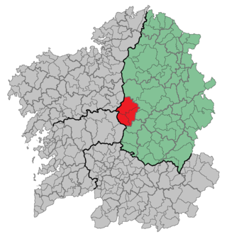
A Ulloa is a comarca in the province of Lugo, Galicia, in northwestern Spain.
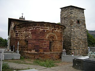
Ribas de Sil is a town and municipality in the province of Lugo, in the autonomous community of Galicia, Spain. It belongs to the comarca of Quiroga.

O Páramo is a municipality in the province of Lugo, in the autonomous community of Galicia, Spain. It belongs to the comarca of Sarria. It has a population of 1632 persons and an area of 74.92 km2.

Pedrafita do Cebreiro is a municipality in the province of Lugo in Galicia, Spain. It borders the Lugo municipalities of As Nogais, Cervantes, Folgoso do Courel, Samos and Triacastela. Its eastern boundary borders the province of León. It belongs to the comarca of Os Ancares.
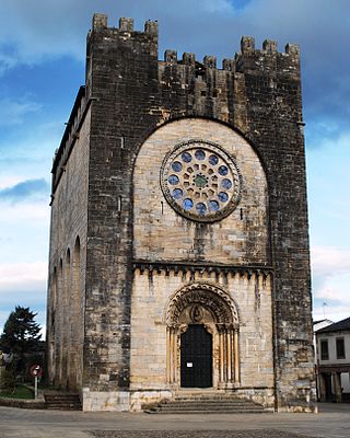
Portomarín is a municipality in the province Lugo, in the autonomous community of Galicia, Spain. It belongs to the comarca of Lugo. The town has a population of 2008 and an area of 115 km². It is one of the towns in the pilgrimage route known as the French Way, part of the Camino de Santiago.

A Pobra do Brollón is a municipality in the province of Lugo in the autonomous community of Galicia, Spain. It belongs to the comarca of Terra de Lemos. It has a population of 2,066 and an area of 175 km2.

The geography of Galicia (Spain) is characterized by the contrast between the low altitude coastal relief and, further inland, by the higher altitude of the Galician Massif which itself offers contrasts between the morphology of the high northern plains and the southern mountains and valleys.
