Paradela | |
|---|---|
 | |
 Flag  Coat of arms | |
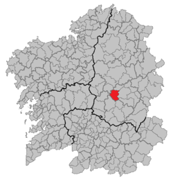 | |
 Paradela Location in Spain | |
| Coordinates: 42°58′N7°57′W / 42.967°N 7.950°W | |
| Country | |
| Autonomous community | |
| Province | Lugo |
| Comarca | Sarria |
| Government | |
| • Alcalde | José Manuel Mato Díaz (2007) |
| Area | |
• Total | 121.12 km2 (46.76 sq mi) |
| Population (2025-01-01) [1] | |
• Total | 1,557 |
| • Density | 12.86/km2 (33.29/sq mi) |
| Demonym | Paradelense |
| Time zone | UTC+1 (CET) |
| • Summer (DST) | UTC+2 (CEST) |
| Official language(s) | Galician, Spanish |
| Website | Official website |
Paradela is a municipality in Lugo province in Galicia in north-west Spain. It is situated in the region of Sarria. There were 2,193 people living in Paradela as of 2008 (1,101 men and 1,092 women). [2] It is known for the connection it has with the Way of St. James. The French route of such a way, ending in Santiago de Compostela, passes through five parishes of Paradela: Ferreiros, Francos, Laxe, Cortes and Loio. [3]