Related Research Articles

Jecheon is a city in North Chungcheong Province,South Korea. The city is a major railway junction or a transportation mecca,served by the Jungang,Chungbuk and Taebaek Lines. Jecheon has scenic surroundings and several tourist spots like the Uirimji Reservoir,Cheongpung Lake and Cheongpung Cultural Properties complex. It is also the home of Semyung University.
This is a list of extreme points in Antarctica.
Gwandong is a region coinciding with the former Gangwon Province in Korea. Today,the term refers to South Korea's Gangwon Province and North Korea's Kangwon Province. The name is often used to refer to people residing in the region.

Kielce Voivodeship - a unit of administrative division and local government in Poland in years 1921–1939. At that time,it covered northern counties of the historic province of Lesser Poland,including such cities as Radom,Częstochowa and Sosnowiec. On 1 April 1938,its borders changed,see:Territorial changes of Polish Voivodeships on 1 April 1938. Capital city:Kielce.

Washington Air Route Traffic Control Center (ZDC) is an Area Control Center operated by the Federal Aviation Administration and located at Lawson Rd SE,Leesburg,Virginia,United States. The primary responsibility of ZDC is the separation of airplane flights and the expedited sequencing of arrivals and departures along STARs and SIDs for the Washington-Baltimore Metropolitan Area,the New York Metropolitan Area,and Philadelphia among many other areas.
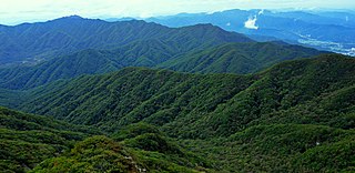
Amisan is a mountain in the county of Hongcheon,Gangwon-do in South Korea. It has an elevation of 960.8 m (3,152 ft).
Baegusan (Korean: 백우산) is a mountain in the county of Hongcheon,Gangwon-do in South Korea. It has an elevation of 894.7 m (2,935 ft).
Chiaksan (Korean: 치악산) is a mountain in the province of Gangwon-do,South Korea. Its area extends across the city of Wonju and the county of Hoengseong. Chiaksan has an elevation of 1,288 m (4,226 ft).
Gyebangsan (Korean: 계방산) is a mountain between the counties of Hongcheon and Pyeongchang,Gangwon-do in South Korea. It has an elevation of 1,577 m (5,174 ft).
Jangmisan is a mountain in the county of Pyeongchang,Gangwon-do in South Korea. It has an elevation of 978.8 m (3,211 ft).
Yaksusan is a mountain in the county of Hongcheon,Gangwon-do in South Korea. It has an elevation of 1,306.2 m (4,285 ft).
Gamabong is a mountain of South Korea. It has an elevation of 1,191 metres.
Soppulsan is a mountain of South Korea. It has an elevation of 1,118 metres.
Indeungsan is a mountain of South Korea. It has an elevation of 666 metres.
Jakseongsan is a mountain of South Korea. It has an elevation of 846 metres.

Biseulsan (비슬산) is a mountain of Gyeongsangbuk-do,eastern South Korea. It has an elevation of 1,084 metres.
Bohyeonsan or Bohyeon Mountain or Mount Bohyeon is located in the province of Gyeongsangbuk-do,eastern South Korea. Its peak has an elevation of 1,121 metres (3,678 ft),and is near the city of Yeongcheon.

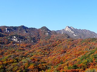
Gayasan,also known as Gaya Mountain,is a mountain in Gyeongsangbuk-do,eastern South Korea. This mountain reaches an elevation of 1,433 metres. It is located in Gayasan National Park,which is named in honor of this mountain.
Guryongsan is a mountain of Gyeongsangbuk-do,eastern South Korea. It has an elevation of 1,346 metres.
Banwol-dong is a neighborhood of Sangnok-gu,Ansan,Gyeonggi Province,South Korea.
References
- ↑ An Gyeong-ho (2007). 한국 300 명산 (300 Korean Mountains). Seoul: 깊은솔 (Gipeunsol). ISBN 978-89-89917-21-2.
37°00′N128°54′E / 37.000°N 128.900°E
| | This South Korea location article is a stub. You can help Wikipedia by expanding it. |