Gedersdorf | |
|---|---|
 | |
 Coat of arms | |
 Gedersdorf Location within Austria | |
| Coordinates: 48°26′N15°41′E / 48.433°N 15.683°E | |
| Country | Austria |
| State | Lower Austria |
| District | Krems-Land |
| Government | |
| • Mayor | Franz Brandl (ÖVP) |
| Area | |
• Total | 18.83 km2 (7.27 sq mi) |
| Elevation | 194 m (636 ft) |
| Population (2018-01-01) [2] | |
• Total | 2,184 |
| • Density | 116.0/km2 (300.4/sq mi) |
| Time zone | UTC+1 (CET) |
| • Summer (DST) | UTC+2 (CEST) |
| Postal code | 3494 |
| Area code | 02735 |
| Website | www.gedersdorf.at |
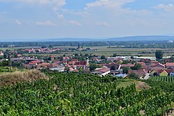
Gedersdorf is a municipality in the district of Krems-Land in the Austrian state of Lower Austria.
