Geras, Austria

Last updated
Geras
AUT Geras COA.jpg
Coat of arms
Austria adm location map.svg
Red pog.svg
Geras
Location within Austria
Coordinates: 48°48′N15°40′E / 48.800°N 15.667°E / 48.800; 15.667 Coordinates: 48°48′N15°40′E / 48.800°N 15.667°E / 48.800; 15.667
Country Austria
State Lower Austria
District Horn
Government
   Mayor Johann Glück
Area
[1]
  Total67.66 km2 (26.12 sq mi)
Elevation
460 m (1,510 ft)
Population
 (2018-01-01) [2]
  Total1,325
  Density20/km2 (51/sq mi)
Time zone UTC+1 (CET)
  Summer (DST) UTC+2 (CEST)
Postal code
2093, 3752, 3753
Area code 02912
Website www.geras.gv.at

Geras is a town in Lower Austria in the district of Horn in Austria.

Contents

Population

Historical population
YearPop.±%
18692,442    
18802,420−0.9%
18902,488+2.8%
19002,540+2.1%
19102,622+3.2%
19232,559−2.4%
19342,494−2.5%
19392,399−3.8%
19512,344−2.3%
19611,992−15.0%
19711,808−9.2%
19811,637−9.5%
19911,531−6.5%
20011,433−6.4%
20111,370−4.4%

Related Research Articles

Nenzing Place in Vorarlberg, Austria

Nenzing is a market town in the district of Bludenz in the Austrian state of Vorarlberg.

Bildstein Place in Vorarlberg, Austria

Bildstein is a municipality in the district of Bregenz in the Austrian state of Vorarlberg.

Viktorsberg Place in Vorarlberg, Austria

Viktorsberg is a municipality in the district of Feldkirch in the Austrian state of Vorarlberg.

Blons Place in Vorarlberg, Austria

Blons is a municipality in the district of Bludenz in Austrian state of Vorarlberg.

Bludesch Place in Vorarlberg, Austria

Bludesch is a municipality in the district of Bludenz in the Austrian state of Vorarlberg.

Bürserberg Place in Vorarlberg, Austria

Bürserberg is a municipality in Austria in Vorarlberg in the Bludenz district with 549 inhabitants.

Lorüns Place in Vorarlberg, Austria

Lorüns is a municipality in the district of Bludenz in the Austrian state of Vorarlberg.

Silbertal Place in Vorarlberg, Austria

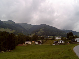
Silbertal is a municipality in the district of Bludenz in the Austrian state of Vorarlberg.

Stallehr Place in Vorarlberg, Austria

Stallehr is a municipality in the district of Bludenz in the Austrian state of Vorarlberg.

Thüringerberg Place in Vorarlberg, Austria

Thüringerberg is a municipality in the district of Bludenz in the Austrian state of Vorarlberg.

Fußach Place in Vorarlberg, Austria

Fußach is a municipality in the district of Bregenz in the Austrian state of Vorarlberg.

Gaißau Place in Vorarlberg, Austria

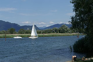
Gaißau is a municipality in the district of Bregenz in the Austrian state of Vorarlberg.

Höchst, Austria Place in Vorarlberg, Austria

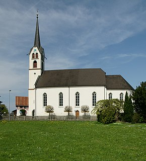
Höchst is a municipality in the district of Bregenz in the Austrian state of Vorarlberg.

Schnepfau Place in Vorarlberg, Austria

Schnepfau is a municipality in the district of Bregenz in the Austrian state of Vorarlberg.

Mäder Place in Vorarlberg, Austria

Mäder is a municipality in the district of Feldkirch in the Austrian state of Vorarlberg.

Schlins Place in Vorarlberg, Austria

Schlins is a municipality in the district of Feldkirch in the Austrian state of Vorarlberg.

Weiler, Austria Place in Vorarlberg, Austria

Weiler is a municipality in the district of Feldkirch in the Austrian state of Vorarlberg.

Altschwendt Place in Upper Austria, Austria

Altschwendt is a municipality in the district of Schärding in the Austrian state of Upper Austria.

Schwanenstadt Place in Upper Austria, Austria

Schwanenstadt is a town in the district of Vöcklabruck in the Austrian state of Upper Austria.

Bad Waltersdorf Place in Styria, Austria

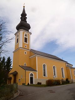
Bad Waltersdorf is a municipality in the district of Hartberg-Fürstenfeld in Styria, Austria.

References

  1. "Dauersiedlungsraum der Gemeinden Politischen Bezirke und Bundesländer - Gebietsstand 1.1.2018". Statistics Austria. Retrieved 10 March 2019.
  2. "Einwohnerzahl 1.1.2018 nach Gemeinden mit Status, Gebietsstand 1.1.2018". Statistics Austria. Retrieved 9 March 2019.