The Buri Peninsula extends from central Eritrea north into the Red Sea.

The Gulf of Zula, also known as Annesley Bay, Baia di Arafali or Zula Bahir Selat’ē, is a body of water on the Eritrean coastline on the Red Sea.
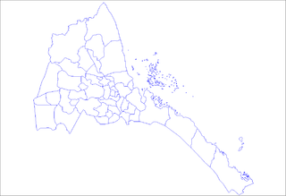
Adi Tekelezan Subregion is a subregion in the northwestern Anseba region of Eritrea. The capital lies at Adi Tekelezan.

Elabered Subregion is a subregion in the northwestern Anseba region of Eritrea. Its capital lies at Elabered.

Geleb Subregion is a subregion in the northwestern Anseba region of Eritrea. Its capital lies at Geleb.
Hagaz Subregion is a subregion in the northwestern Anseba region of Eritrea. Its capital lies at Hagaz (Hagat).

Halhal Subregion is a subregion in the northwestern Anseba region of Eritrea. Situated 12 km north of Keren (Cheren), its capital lies at Halhal.

Keren Subregion is a subregion in the northwestern Anseba region of Eritrea. Its capital lies at Keren (Cheren).
Ghala Nefhi Subregion is a subregion in the central Maekel region of Eritrea. Its capital lies at Ghala Nefhi.
North Eastern Subregion is a subregion in the central Maekel region of Eritrea.
Serejaka Subregion is a subregion in the central Maekel region of Eritrea. Its capital lies at Serejaka.
South Eastern Subregion is a subregion in the central Maekel (Maakel) region of Eritrea.
South Western Subregion is a subregion in the central Maekel region of Eritrea.
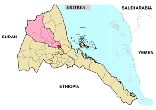
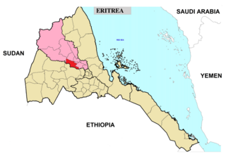
Barentu Subregion is a subregion in the Gash-Barka region of western Eritrea. The capital lies at Barentu.
Haykota Subregion is a subregion in the western Gash-Barka region of Eritrea. Its capital lies at Haykota.
Dahlak Subregion is a subregion in the Northern Red Sea region of Eritrea. It is the administrative subregion that covers the islands of the Dahlak Archipelago. The capital lies at Jimhil.
Foro Subregion is a subregion in the Northern Red Sea region of Eritrea. Its capital lies at Foro.
Ghinda Subregion is a subregion in the Northern Red Sea region of Eritrea. Its capital lies at Ghinda.
Dekemhare Subregion is a subregion in the southern Debub region of Eritrea. Its capital lies at Dekemhare.
Ghela'elo is a town in coastal Eritrea. It is located in the Northern Red Sea region, and is the capital of the Ghela'elo district.