Gleibat El Foula | |
|---|---|
Rural commune and town | |
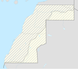 Gleibat El Foula Location in Western Sahara | |
| Coordinates: 23°30′59″N14°12′20″W / 23.5163°N 14.2056°W | |
| Territory | Western Sahara |
| Claimed by | |
| Region | Dakhla-Oued Ed-Dahab |
| Province | Oued Ed-Dahab |
| Area | |
• Total | 162.13 km2 (62.6 sq mi) |
| Population (2004) | |
• Total | 2,973 |
| • Density | 18/km2 (47/sq mi) |
| Time zone | UTC+0 (WET) |
| • Summer (DST) | UTC+1 (WEST) |
Gleibat El Foula is a town in the disputed territory of Western Sahara. It is occupied by Morocco as a rural commune in Oued Ed-Dahab Province in the region of Dakhla-Oued Ed-Dahab. At the time of the 2004 census, the commune had a total population of 2973 people living in 42 households. [1]