
Northampton County is a county located in the U.S. state of North Carolina. As of the 2020 census, the population was 17,471. Its county seat is Jackson.
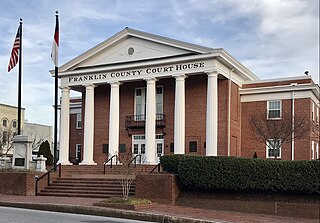
Franklin County is a county located in the U.S. state of North Carolina. As of the 2020 census, the population was 68,573. Its county seat is Louisburg.

Edgecombe County is a county located in the U.S. state of North Carolina. As of the 2020 census, the population was 48,900. Its county seat is Tarboro.

Chowan County is one of the 100 counties located in the U.S. state of North Carolina. As of the 2020 census, the population was 13,708. Its county seat is Edenton. The county was created between 1668 and 1671 as Shaftesbury Precinct and later renamed Chowan Precinct. It gained county status in 1739.

Bertie County is a county located in the northeast area of the U.S. state of North Carolina. As of the 2020 census, the population was 17,934. Its county seat is Windsor. The county was created in 1722 as Bertie Precinct and gained county status in 1739.
Windsor is a town in Bertie County, North Carolina, United States. The population was 3,630 at the 2010 census, up from 2,283 in 2000. It is the county seat of Bertie County, which is also the homeland of the Southern Band Tuscarora Tribe that remained in North Carolina post Colonialism. Windsor is located in North Carolina's Inner Banks region.

An unincorporated area is a region that is not governed by a local municipal corporation. There are many unincorporated communities and areas in the United States and Canada.
Grabtown is an unincorporated community in Johnston County, North Carolina, United States. Grabtown is located 9 miles (14 km) southeast of Smithfield. It is included in the Research Triangle Metropolitan Statistical Area.

David Stone was the 15th governor of the U.S. state of North Carolina from 1808 to 1810. Both before and after his term as governor, he served as a U.S. senator, between 1801 and 1807 and between 1813 and 1814.
The following is a set–index article, providing a list of lists, for the cities, towns and villages within the jurisdictional United States. It is divided, alphabetically, according to the state, territory, or district name in which they are located.

Quitsna is an unincorporated community in southern Bertie County, North Carolina, United States, in the coastal plain, approximately 202 miles (325 km) from Washington, D.C. It is located on Quitsna Road, and Indian Woods Road, west of Grabtown. Indian Woods Baptist Church is located in Quitsna.

The following outline is provided as an overview of and topical guide to the U.S. state of North Carolina. Wikipedia:WikiProject North Carolina Category:Top-importance North Carolina articles are indicated.
This list includes properties and districts listed on the National Register of Historic Places in Bertie County, North Carolina. Click the "Map of all coordinates" link to the right to view an online map of all properties and districts with latitude and longitude coordinates in the table below.

Hallsville is an unincorporated community located adjacent to the Northeast Cape Fear River in Duplin County, North Carolina, United States.
Republican is an unincorporated community in Bertie County, North Carolina, United States. The community is 8.6 miles (13.8 km) northwest of Windsor.


