Hainsdorf im Schwarzautal | |
|---|---|
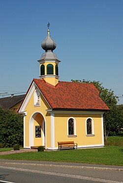 Hainsdorf chapel | |
 Coat of arms | |
 Hainsdorf im Schwarzautal Location within Austria | |
| Coordinates: 46°49′12″N15°31′12″E / 46.82000°N 15.52000°E | |
| Country | Austria |
| State | Styria |
| District | Leibnitz |
| Area | |
• Total | 6.63 km2 (2.56 sq mi) |
| Elevation | 284 m (932 ft) |
| Population (1 January 2016) [1] | |
• Total | 289 |
| • Density | 43.6/km2 (113/sq mi) |
| Time zone | UTC+1 (CET) |
| • Summer (DST) | UTC+2 (CEST) |
| Postal code | 8421 |
| Area code | 03184 |
| Vehicle registration | LB |
| Website | www.hainsdorf-schwarzautal. steiermark.at |
Hainsdorf im Schwarzautal is a former municipality in the district of Leibnitz in the Austrian state of Styria. Since the 2015 Styria municipal structural reform, it is part of the municipality Schwarzautal. [2]