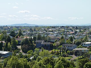
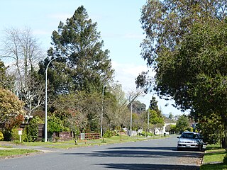
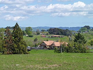
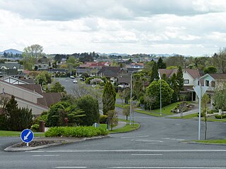
Ruakura is a semi-rural suburb of Hamilton City, in the Waikato region of New Zealand. The University of Waikato is nearby.

Frankton is a central suburb of the city of Hamilton, New Zealand. It is the site of the city's passenger railway station, a major industrial-commercial stretch of State Highway 1, and a commercial shopping area. Frankton Borough Council was formed in 1913, but merged with Hamilton in 1917, after a poll in 1916.

Fairfield is a suburb to the northeast of central Hamilton, New Zealand. Fairfield is named after the dairy farm of John Davies, who bought 100 acres from F. R. Claude. This area experienced rapid growth in the 1950s and 60s.

Hillcrest is a suburb in southeastern Hamilton in New Zealand. The suburb is home to the University of Waikato and consequently has a large student population. It is located on the east side of the Hamilton Town Belt, a series of public parks that run from the Hamilton Gardens to Ruakura in its eastern section.

Chartwell is a suburb in north-eastern Hamilton, New Zealand. The suburb was named after Chartwell, the country home of Sir Winston Churchill. The area became a part of Hamilton in June 1962 and was officially defined as a suburb in 1974. Most of the housing is private single or 2 level dwellings with little state housing. Streets near the square are used for parking. Private dwellings are being purchased by professionals to be used as business premises close to the square. The streets are well planted with trees.

Forest Lake is a suburb of Hamilton in New Zealand and was added to from around the 1930s. It is centred around Forest Lake Road, which is used by around 10,000 vehicles a day.

Beerescourt is a suburb in western Hamilton, New Zealand. It is named after Capt. G. B. Beere, who was granted land in the military settlement at the conclusion of the New Zealand Wars. He set up a fort, and the area became known as Beere's Fort. The name was eventually changed to Beerescourt.
Te Rerenga is a locality on the Whangapoua Harbour, Coromandel Peninsula, New Zealand. State Highway 25 runs through it. Coromandel is 12 km to the west. Whitianga lies to the south east. The Waitekuri and Opitonui Rivers flow from the Coromandel Range in the west and south through the area to drain in the Whangapoua Harbour.

Crawshaw is a compact suburb, close to Te Rapa railway depot, in western Hamilton in New Zealand, and extended in the 2018 census to cover 0.86 km2. Although sometimes referred to as a suburb in its own right, it is often described as being part of Nawton.

Deanwell is a suburb in south-western Hamilton in New Zealand. It is named after Deanwell Properties, the developers who subdivided the area. It was defined as a suburb of Hamilton in 1974.

Dinsdale is the westernmost suburb of Hamilton in New Zealand. Originally called Frankton West, it was renamed in July 1961 after Thomas Dinsdale. Dinsdale grew rapidly in the 1960s. It is located around a low ridge with some views westward to open farm land. It has a large sports ground and shopping complex with a supermarket, shops and Dinsdale Library, one of the branches of the Hamilton City Libraries. The community church of West Hamilton is located in the suburb.

Hamilton West is a suburb in western Hamilton in New Zealand.

Maeroa is a suburb in western Hamilton in New Zealand. Originally an outlying suburb, it became part of Hamilton City in 1925 with the second boundary extension.

Melville is a suburb in southern Hamilton in New Zealand. It is named after James Dougal Melville. Many of the streets in Melville are named after war heroes, including Douglas Bader, Bernard Montgomery, Odette Hallowes, David Beatty and William Slim. Melville was named after the districts pioneer J Melville who lived in 1904 opposite the site of Melville Primary School. The Hospital paved the way for a great deal of development throughout the Melville area. Opened in 1887 the area quickly became known as Hospital Hill although it was not added to the Hamilton Borough until 1936. Hamilton city extended its boundaries to Collins Road, Melville in 1954 and again in 1962 to Houchens Road, Glenview and Dixon Road, Glenview. In 1960 Melville gained Hamiltons 4th suburban post office which was followed in 1964 with the opening of Melville High School. The facilities in Melville reflected the significant growth of Melville / Glenview throughout the 1950s. Melville lends its name to one of Hamilton's top association football teams, Melville United who compete in the Lotto Sport Italia NRFL Premier.

Nawton is a suburb in western Hamilton in New Zealand.

Rotokauri is a semi-rural suburb in western Hamilton in New Zealand. It is one of the future urban zones of Hamilton, along with Peacocke. The northeastern parts of Rotokauri are sometimes called Burbush and Baverstock.

St Andrews is a suburb in north-western Hamilton in New Zealand. One of its main features is an 18-hole golf course built on an old flood plain on the west bank of the Waikato River. This area was regularly flooded before the construction of the Karapiro HEP dam further up river.

Chedworth Park, also known simply as Chedworth, is a suburb in eastern Hamilton in New Zealand. It was defined as a suburb of Hamilton in 1974.
Huntington is a suburb of Hamilton, New Zealand.

River Road is a residential suburb of Hamilton, sited on the eastern bank of the Waikato River. The namesake road runs from Claudelands Bridge north to Pukete Bridge and beyond, to Ngāruawāhia, but the main part of the suburb is between Boundary Road and Donny Park. Properties close to the river are much more expensive than those further away. Most of River Road was shown on an 1865 map, though it was some years later before it was built and, by 1866, only one bridge had been built.


