Odisha, formerly Orissa, is a state located in Eastern India. It is the eighth-largest state by area, and the eleventh-largest by population, with over 41 million inhabitants. The state also has the third-largest population of Scheduled Tribes in India. It neighbours the states of Jharkhand and West Bengal to the north, Chhattisgarh to the west, and Andhra Pradesh to the south. Odisha has a coastline of 485 kilometres (301 mi) along the Bay of Bengal in the Indian Ocean. The region is also known as Utkaḷa and is mentioned by this name in India's national anthem, Jana Gana Mana. The language of Odisha is Odia, which is one of the Classical languages of India.

Baripada is a city and a municipality in Mayurbhanj district in the state of Odisha, India. Located along the east bank of the Budhabalanga river, Baripada is the cultural centre of north Odisha.

Mayurbhanj district is one of the 30 districts in the Odisha state of eastern India and the largest district in Odisha by area. The district's headquarters is located in Baripada, with other major towns including Rairangpur, Karanjia, and Bahalda. As of 2011, Mayurbhanj ranks as the third-most populous district in Odisha, following Ganjam and Cuttack.

Rairangpur is a city and a tehsil in the Mayurbhanj district of the state of Odisha, India. It is located 287 kilometres from the state capital Bhubaneswar, 82 kilometres from the district headquarters of Baripada, and about 73 kilometres from Jamshedpur. Rairangpur is the second largest city in the Mayurbhanj district, a notable mining area of Odisha, producing iron-ore from the Gorumahisani, Badampahar, and Suleipat mines.

Udala is a town and headquarter of Kaptipada subdivision of Mayurbhanj district, Odisha. It is also a NAC of Mayurbhanj district.

Balasore District, also known as Baleswar District, is an administrative district of Odisha state, in eastern India. Balasore is one of the coastal districts of Odisha and lies on the northernmost part of the state.

Boudh District is an administrative and municipal district, one of thirty in the Odisha, India. The district headquarters is the city of Boudh.

https://kendujhar.odisha.gov.in/about-district/who-whoThis+article+is+about+the+district.+For+its+eponymous+headquarters,+see+Kendujhar.

Maharaja Sriram Chandra Bhanja Deo University, formerly North Orissa University (NOU), is a public university in the regional city of Baripada in the state of Odisha, India. MSCB University was accredited by National Assessment and Accreditation Council (NAAC) with an A grade in third assessment cycle with a score of 3.1 out of 4 points. This university mainly provides higher education through on-campus as well as distance education modes. It aims to provide job-oriented technical courses. Maharaja Sriram Chandra Bhanja Deo University ranks 5577th globally and 248th in India based on overall research output. In the academic sector, it holds positions 2836th globally and 187th in India.
Odisha is one of the 28 states of India, located on the eastern coast. It is surrounded by the states of West Bengal to the northeast, Jharkhand to the north, Chhattisgarh to the west and northwest, and Andhra Pradesh to the south and southwest. Odia is the official and most widely spoken language, spoken by 33.2 million according to the 2001 Census. The modern state of Odisha was established on 1 April 1936, as a province in British India, and consisted predominantly of Odia-speaking regions. April 1 is celebrated as Odisha Day.

Khiching is an important piligrimage village of Bhanja rulers, located in Panchpir subdivision.

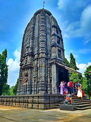
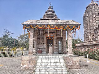
Shri Shri Hari Baladev Jew Bije is a famous Hindu temple located in Baripada, Mayurbhanj district, in the state of Odisha, India. The name Jagannath is a combination of the Sanskrit words Jagat (Universe) and Nath.

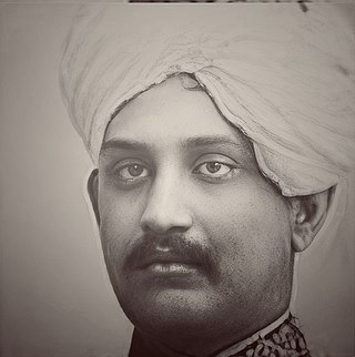
Maharaja Sri Rama Chandra Bhanja Deo was the Maharaja of Mayurbhanj State of India. Sc

Debakunda or Devkund is a naturally created pond located in the Mayurbhanj district of Odisha, India—a part of the Simlipal National Park. The flowing water from an adjacent waterfall has created this pond. There is a temple called "Ambika Mandira" that was discovered by Rajkumar Prafulla Chandra Bhanja Deo, a researcher and a king during British Raj who stayed at Devkund and researched about this place. Debakunda is home to various lichen species from the family Parmeliaceae.

The Bhanja dynasty is a dynasty that originated in the northern and central regions of modern Odisha before the Gupta Empire became an imperial power. The dynasty, of ancient local Kshatriya lineage as documented by Hermann Kulke, succeeded the Vindhyatabi branch of the Nagas of Padmavati, who ruled from the Keonjhar district of Odisha and included Satrubhanja of the Asanpat inscription. The Bhanj later became feudatories of the Bhauma-Kara dynasty.

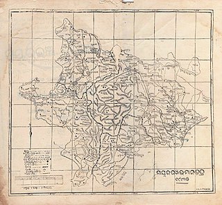
Mayurbhanj State was one of the princely states of India during the British Raj. It was one of the largest states of the Eastern States Agency and one of the four salute states of the Orissa States Agency. The emblem of the state was two peacocks, for according to legend the ancestors of the rulers had originated from a peafowl's eyes.
Pramananda Acharya (1893–1971) was an Indian archaeologist known for his notable archaeological research on the history of Odisha. He was honoured by the Government of India in 1964, with the award of Padma Shri, the fourth highest Indian civilian award for his services to the nation.

Keonjhar State, also known as Keunjhar, was one of the princely states of India during the period of the British Raj. The second largest of the states of the Orissa States Agency, it was located in present-day Kendujhar district, Odisha.

Kaptipada estate was one of the princely states of India during the period of the British Raj. It was located in eastern India and surrounded by Mayurbhanj state in north and west, Nilgiri state in east and Keonjhar state in south. The state was believed to founded by Naga Chief Phanimukuta during the rule of Gajapati ruler Kapileswar Dev about the middle of 15th century A.D.


