Haveli Tehsil, AK

Last updated
Map of Haveli District with Tehsil headquarters highlighted Haveli District Tehsil Headquarters.jpg
Map of Haveli District with Tehsil headquarters highlighted

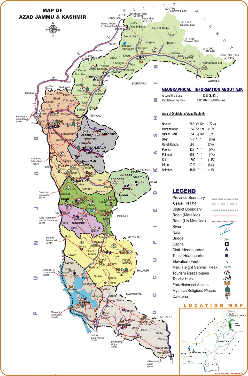
Haveli Tehsil is an administraive sub-division (tehsil) of Haveli District in Azad Kashmir. [1]

Geography

Haveli Tehsil is a very mountainous area and lies to the east of Bagh District, in 2005 when a major earthquake struck, there were problems rescuing people due to the remoteness of the area, both Médecins Sans Frontières and the Pakistani army were involved in the rescue effort. [2]

References

  1. "Map showing districts and tehsils". ajk.gov.pk.
  2. "In the heart of despair". November 3, 2005 via The Guardian.