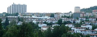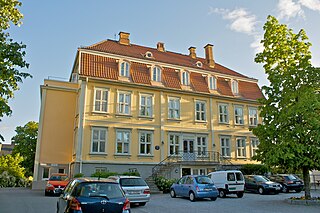
Ullern is a borough of the city of Oslo, Norway.

Grønland is a neighbourhood in central Oslo, Norway. It is served by several tram and bus lines, as well as the Oslo Metro at the Grønland Station. The neighborhood, along with neighboring Tøyen, is considered to be very ethnically diverse and is home to a large population of immigrants.

Birkelunden is a park placed centrally in the Grünerløkka borough of Oslo, Norway. It is formed as a rectangle, more or less like a city block.

The Kon-Tiki Museum is a museum in the Bygdøy peninsula in Oslo, Norway. It houses vessels and maps from the Kon-Tiki expedition, as well as a library with about 8,000 books. It was opened in a provisional building in 1949. In 1957, the current building—designed by architects F. S. Platou and Otto Torgersen—was opened. In 1978, an extension of the museum designed by Torgersen was opened.
Frognerkilen is a bay in the inner Oslofjord of Norway, east of the Bygdøy peninsula.

Bestumkilen is a bay in Lysakerfjorden in the inner Oslofjord area of Norway.

Linderud is a neighborhood in Bjerke borough, Oslo, Norway. The area originally formed part of the estate of Linderud Manor.

Solli plass, pronounced /su:li/ or /suli/, /plas/ or /pɽas/, also called Lapsetorvet, is a square in Oslo, Norway, located southwest of Slottsparken and the Royal Palace.

Bredtvet is a neighborhood in the borough of Bjerke in Oslo, Norway.

Haugerud is a neighborhood in the borough of Alna in Oslo, Norway.

Olaf Ryes plass is a square and park placed centrally in the Grünerløkka borough of Oslo, Norway. It is more or less square in shape.

Schous plass is a square in the southern part of the borough of Grünerløkka in Oslo, Norway.
Oslo Vognselskap is a municipally owned company that maintains, upgrades and hires the Oslo Metro rolling stock to Ruter. It was established in 2007 as a subsidiary of Kollektivtransportproduksjon, and split out in the same year. In 2010, the company bought 96 new wagons from Siemens for NOK 1.5 billion, which will be delivered in the autumn of 2012.

Elisenberg is a neighborhood in the Frogner borough in Oslo, Norway.
A/S Tryvandsbanen was a Norwegian company that constructed a rail extension nicknamed Tryvandsbanen of the Holmenkoll Line from Besserud to Tryvandshøiden station. The company was established 4 January 1912 and opened the Tryvann Line 15 May 1916. Tryvandsbanen was disestablished on 1 January 1920.

Øvresetertjern is a lake in Oslo, Norway. It is located 477 metres (1,565 ft) over sea level between the top of the hill Tryvannshøyden and Frognerseteren. From 1916 to 1938, the station Tryvandshøiden was located north of the lake, but it was never served by regular passenger trains.

The Oslo Winter Park at Tryvann is a ski resort in Oslo, Norway. It is the most used ski resort of Norway. In the 1930s, the ski slope Tryvannskleiva was constructed, and the first race was held in 1933. The ski slope was later expanded with Tommkleiva, Wyllerløypa and finally with Tryvann Ski Resort. As of winter of 2010, the resort has 14 slopes and 7 lifts. There is only 1.2 km (0.75 mi) walking or bus distance from the Voksenkollen metro station.

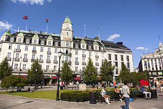
Frithjof Stoud Platou was a Norwegian architect. He worked for the international architects Lars Backer and Erich Mendelsohn before he established his own architectural firm in Oslo. Among his most famous works are the Grand Hotel and the Kon-Tiki Museum, both in Oslo.

The German School of Oslo is a German-language school in Oslo, Norway and is led by Oliver Schaefer. It is located in Sporveisgata 20 at Bislett, and was opened in 1980. In the beginning, the school was located in the basement of the German Protestant Community of Oslo in Eilert Sundts gate 37, before it moved to Majorstuen School. In 1998, the DSO moved from Majorstuen to the disused Hegdehaugen Upper Secondary School, where it has been ever since.

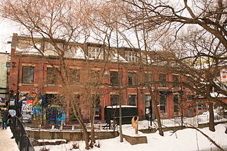
Blå ("Blue") is a jazz club in Grünerløkka, Oslo, Norway.


