References
Municipalities and communities of Greene County, Tennessee, United States | ||
|---|---|---|
| City | 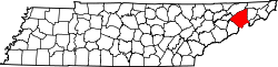 | |
| Towns | ||
| CDP | ||
| Unincorporated communities | ||
| Footnotes | ‡This populated place also has portions in an adjacent county or counties | |
36°09′46″N82°39′48″W / 36.16288°N 82.66320°W
| | This Greene County, Tennessee geography–related article is a stub. You can help Wikipedia by expanding it. |