Huanca Sancos province

Last updated
Huanca Sancos
Location of the province Huanca Sancos in Ayacucho.svg
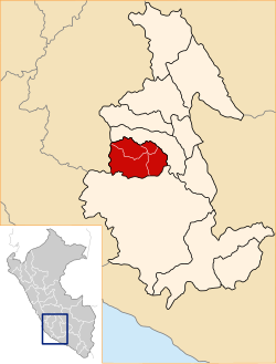
Location of Huanca Sancos in the Ayacucho Region
Country Peru
Region Ayacucho
Capital Huanca Sancos
Government
  MayorCirilo Pacheco Vilchez
Area
  Total
2,862.33 km2 (1,105.15 sq mi)
Elevation
3,408 m (11,181 ft)
Population
  Total
12,120
  Density4.2/km2 (11/sq mi)
UBIGEO 0503

Huanca Sancos is a province in central Ayacucho, Peru. On April 3, 1983, Shining Path terrorists entered the town of Lucanamarca and killed 69 people.

Contents

Geography

Some of the highest mountains of the province are listed below: [1]

Political division

The province extends over an area of 2,862.33 square kilometres (1,105.15 sq mi) and is divided into four districts.

Ethnic groups

The people in the province are mainly indigenous citizens of Quechua descent. Quechua is the language which the majority of the population (80.79%) learnt to speak in childhood, while 18.72% of the residents started speaking using the Spanish language (2007 Peru Census). [2]

See also

Sources

  1. escale.minedu.gob.pe - UGEL map of the Huanca Sancos Province (Ayacucho Region)
  2. inei.gob.pe Archived 2013-01-27 at the Wayback Machine INEI, Peru, Censos Nacionales 2007

13°55′07″S74°19′55″W / 13.91861°S 74.33194°W / -13.91861; -74.33194