Inchenhofen | |
|---|---|
 Flag  Coat of arms | |
Location of Inchenhofen within Aichach-Friedberg district 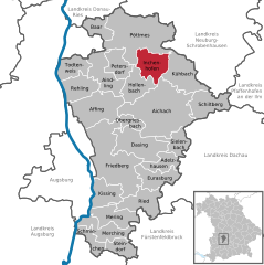 | |
 Inchenhofen  Inchenhofen | |
| Coordinates: 48°31′N11°7′E / 48.517°N 11.117°E | |
| Country | Germany |
| State | Bavaria |
| Admin. region | Schwaben |
| District | Aichach-Friedberg |
| Government | |
| • Mayor (2020–26) | Anton Schoder [1] |
| Area | |
• Total | 27.55 km2 (10.64 sq mi) |
| Highest elevation | 485 m (1,591 ft) |
| Lowest elevation | 460 m (1,510 ft) |
| Population (2023-12-31) [2] | |
• Total | 2,742 |
| • Density | 100/km2 (260/sq mi) |
| Time zone | UTC+01:00 (CET) |
| • Summer (DST) | UTC+02:00 (CEST) |
| Postal codes | 86570 |
| Dialling codes | 08257 |
| Vehicle registration | AIC |
| Website | www.inchenhofen.de |
Inchenhofen (also known as Leahad in the local tongue) is a municipality in the district of Aichach-Friedberg in Bavaria in Germany.
Leahad refers to the fact, that it is a pilgrimage site for Saint Leonard of Noblac. Until the Secularisation, it was the most important pilgrimage site of this saint in central Europe.
