
U.S. Route 24 or U.S. Highway 24 (US 24) is one of the original United States Numbered Highways of 1926. It originally ran from Pontiac, Michigan, in the east to Kansas City, Missouri, in the west. Today, the highway's eastern terminus is in Independence Township, Michigan, at an intersection with Interstate 75 (I-75), and its western terminus is near Minturn, Colorado, at an intersection with I-70. The highway transitions from north–south to east–west signage at the Ohio–Michigan state line.

U.S. Route 35 (US 35) is a United States Highway that runs southeast-northwest for approximately 412 miles (663 km) from the western suburbs of Charleston, West Virginia to northern Indiana. Although the highway is physically southeast-northwest, it is nominally north–south. The highway's southern terminus is in Teays Valley, West Virginia, near Scott Depot, at Interstate 64 (I-64). Its northern terminus is near Michigan City, Indiana, at US 20. The West Virginia portion of the highway is mostly expressway, becoming a freeway shortly before it crosses the Ohio River into Ohio. The Ohio portion has been upgraded to a four-lane highway/freeway between the West Virginia state line and Trotwood, west of Dayton.
U.S. Route 224 (US 224) is a spur of US 24 that runs through the states of Indiana, Ohio and Pennsylvania. It currently runs for 289 miles (465 km) from US 24 in Huntington, Indiana, east to US 422 Business and Pennsylvania Route 18 (PA 18) in New Castle, Pennsylvania. It goes through the cities of Canfield, Ohio, Akron, Ohio, and Findlay, Ohio. In Northeast Ohio, US 224 is located a short distance north of the Western Reserve's southern boundary.
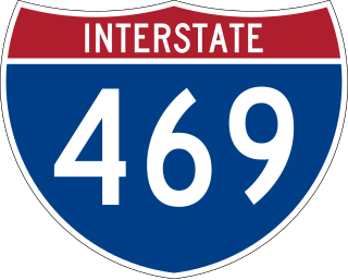
Interstate 469 (I-469) is an Interstate Highway in northeastern Indiana. It is an auxiliary route of parent I-69 that also carries portions of US Highway 24 (US 24), US 30, and US 33 around the urban parts of Fort Wayne. It is 30.83 miles (49.62 km) in length. The Interstate was originally conceived as a bypass for US 24 around the south and east ends of Fort Wayne. Due to heavy traffic on US 30 through the city, support was gained to connect the bypass to I-69 on the city's north end. I-469 was given the name Ronald Reagan Expressway in 2005.

State Road 1 (SR 1) is a north–south state highway in eastern Indiana, consisting of two segments. Its southern segment begins at U.S. Highway 50 and Interstate 275 in east-central Dearborn County, just east of Lawrenceburg, and ends at Interstate 469 south of Fort Wayne. Its northern segment begins at Interstate 69 on Fort Wayne's north side, and ends at U.S. Route 20 in east-central Steuben County, approximately 6 miles (9.7 km) east of Angola.

State Road 32 (SR 32) in the U.S. state of Indiana is an east–west state highway in central Indiana that crosses the entire state, covering a distance of about 157 miles (253 km). The western terminus of SR 32 is at the Illinois state line, southeast of Danville, Illinois, where the state highway becomes a county road. The eastern terminus is at Union City, Indiana, and Union City, Ohio, at the Ohio state border where the highway becomes Ohio State Route 47.

State Road 62 (SR 62) in the U.S. state of Indiana is an east–west route that travels 204 miles (328 km) from the Illinois state line in the southwest corner of Indiana to the Louisville, Kentucky area, then northeast toward the Cincinnati, Ohio area.

State Road 164 in the U.S. State of Indiana is a short east–west two-lane highway in the southwest portion of the state.
State Road 337 in the U.S. State of Indiana is divided into a northern section and a southern section.
State Road 446 (SR 446) is a short highway in Lawrence and Monroe counties in southern Indiana, United States. Though it is an even-numbered route, it is actually a north–south highway.

State Road 450 is a winding route in southern Indiana that terminates at both ends at its parent route, U.S. Route 50. It covers a distance of about 25 miles (40 km).
State Road 458 is a short one-mile (1.6 km) route in Lawrence County.
Pennsylvania Route 56 is a 108-mile-long (174 km) state highway that is located in west central Pennsylvania in the United States.

Interstate 64 (I-64) in the US state of Illinois is a major east–west Interstate Highway that runs through southern Illinois from the St. Louis metropolitan area east to the Indiana state line near Grayville, Illinois. It travels a distance of 130.4 miles (209.9 km).

U.S. Route 50 (US 50) is a part of the United States Numbered Highway System that runs from West Sacramento, California, to Ocean City, Maryland. In the U.S. state of Indiana, it is part of the state road system. US 50 enters the state in Vincennes. The 171.38 miles (275.81 km) of US 50 that lie within Indiana serve as a major conduit. All of the highway is listed on the National Highway System. Various sections are rural two-lane highway, urbanized four-lane undivided highway and one-way streets. The easternmost community along the highway is Lawrenceburg at the Ohio state line. US 50 passes through urban areas, farmland and woodland.
State Road 263 is a business route of State Road 63 which runs through West Lebanon in Warren County, covering a distance of about 13 miles (21 km). It is an undivided two-lane surface road for its entire length.

State Road 143 is a State Road in the northern section of the U.S. state of Indiana. Running for about 1.5 miles (2.4 km) in a general east–west direction, connecting Jasper-Pulaski Fish and Wildlife Area to U.S. Route 421. SR 143 was originally introduced in the late 1930s or early 1940 routed along its modern routing. The road was paved in the 1970s.
State Road 163 in the U.S. State of Indiana is a short 9-mile (14 km) route in Vermillion and Parke counties. Though it is an odd-numbered route, it is an east–west route.
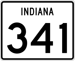
State Road 341 in the U.S. state of Indiana is a north–south state highway in Fountain County in the west-central part of the state.

