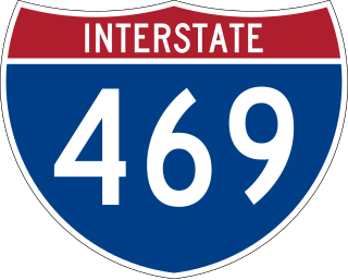
Interstate 469 (I-469) is an Interstate Highway in northeastern Indiana. It is an auxiliary route of parent I-69 that also carries portions of US Highway 24 (US 24), US 30, and US 33 around the urban parts of Fort Wayne. It is 30.83 miles (49.62 km) in length. The Interstate was originally conceived as a bypass for US 24 around the south and east ends of Fort Wayne. Due to heavy traffic on US 30 through the city, support was gained to connect the bypass to I-69 on the city's north end. I-469 was given the name Ronald Reagan Expressway in 2005.
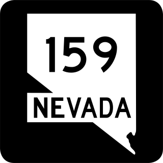
State Route 159 is a 31.204-mile (50.218 km) east–west highway in Clark County, Nevada, United States, providing access to Red Rock Canyon and serving as a thoroughfare in the Las Vegas metropolitan area. A portion of the west end of the route is designated a Nevada Scenic Byway.
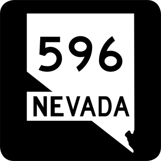
Jones Boulevard is a section line arterial that runs north and south through the Las Vegas Valley. A 4.088-mile (6.579 km) portion of the road is designated State Route 596 (SR 596).

State Road 1 (SR 1) is a north–south state highway in eastern Indiana, consisting of two segments. Its southern segment begins at U.S. Highway 50 and Interstate 275 in east-central Dearborn County, just east of Lawrenceburg, and ends at Interstate 469 south of Fort Wayne. Its northern segment begins at Interstate 69 on Fort Wayne's north side, and ends at U.S. Route 20 in east-central Steuben County, approximately 6 miles (9.7 km) east of Angola.
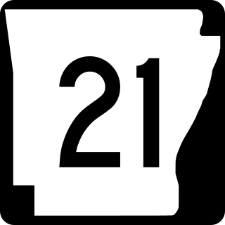
Highway 21 is a north–south state highway in north central Arkansas. The route of 99.14 miles (159.55 km) runs from US Route 64 (US 64) in Clarksville north across US 62 to Missouri Route 13 at the Missouri state line The route is a two-lane highway with the exception of a brief concurrency with US 62, a four-lane highway, in Berryville.

State Road 101 in the U.S. state of Indiana is a north–south state highway in the eastern portion of Indiana that exists in four sections with a combined length of 79.42 miles (127.81 km).

State Road 43 in the U.S. State of Indiana is split into two segments.

State Road 51 in the U.S. state of Indiana is a north–south route on the state highway system in northwest Indiana. It consists of a route 9.56 miles (15.39 km) long from a point on U.S. Route 30 4 miles (6.4 km) east of Merrillville and 8 miles (13 km) west of Valparaiso, north to U.S. Route 20 in Gary. Immediately north of US 30, the highway is signed as the Adam Benjamin Highway.
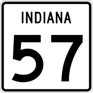
State Road 57 (SR 57) in the U.S. state of Indiana is a north–south, largely two-lane road in the southwestern portion of the state.
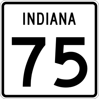
State Road 75, the highest two-digit route in the U.S. state of Indiana consists of two discontinuous north–south segments.

State Road 149 (SR 149) is a part of the Indiana State Road that runs between Valparaiso and Burns Harbor in the US state of Indiana. The 8.73 miles (14.05 km) of SR 149 that lie within Indiana serve as a minor highway. None of the highway is listed on the National Highway System. Various sections of the road are rural two-lane and urban four-lane undivided highways, passing through farmland and residential properties.

State Road 161 in the U.S. State of Indiana is a rural undivided north–south highway in the southwestern portion of the state.

State Road 236 in the U.S. State of Indiana exists in two sections. The western section starts at U.S. Route 41 (US 41) in Parke County, and runs eastward, paralleling its parent that lies to the south, U.S. Route 36 (US 36). In western Hendricks County it then turns to the southeast and ends at State Road 39 (SR 39), only two miles north of that road's intersection with US 36 in Danville.
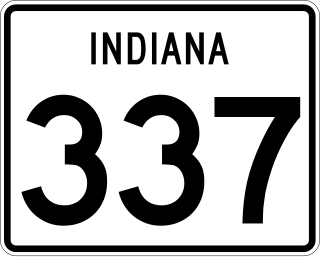
State Road 337 in the U.S. State of Indiana is divided into a northern section and a southern section.

Interstate 65 (I-65) in the US state of Indiana traverses from the south-southeastern Falls City area bordering Louisville, Kentucky, through the centrally located capital city of Indianapolis, to the northwestern Calumet Region of the Hoosier State which is part of the Chicago metropolitan area. The Indiana portion of I-65 begins in Jeffersonville after crossing the Ohio River and travels mainly north, passing just west of Columbus prior to reaching the Indianapolis metro area. Upon reaching Indianapolis, the route alignment of I-65 begins to run more to the northwest and subsequently passes Lafayette on that city's east and north sides. Northwest of there, in west-central Jasper County, the route again curves more northward as it approaches the Calumet Region. Shortly after passing a major junction with I-80 and I-94, I-65 reaches its northern national terminus in Gary at I-90 which is carried on the Indiana East–West Toll Road. I-65 covers 261.27 miles (420.47 km) in the state of Indiana. This is one of the principal Interstate Highways that cross the state, and, more specifically, intersect at the city of Indianapolis, that has given the state the nickname of "Crossroads of America".

State Road 119 exists as two separate roads in the U.S. state of Indiana. The road is a rural surface highway for the entire length of both sections.

U.S. Route 231 is the longest numbered highway in Indiana, covering over 284 miles (457 km). It is a main north–south highway in the western part of the state. The southern terminus of US 231 is at the Kentucky state line and the northern terminus is at US 41 just south of St. John. The highway is a mixture of expressway and two-lane roadway. The expressway portions exist mainly in southern Indiana and around the Lafayette area, with the rest mainly being two lanes.

