This article needs additional citations for verification .(April 2007) |
 Blanca Island | |
 Blanca Island | |
| Geography | |
| Location | Pacific Ocean |
| Coordinates | 9°6′18.0″S78°37′18.0″W / 9.105000°S 78.621667°W |
| Administration | |
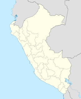
| Region | Ancash |
| Province | Santa |
| Additional information | |
| Time zone | |
Isla Blanca [1] or Blanca Island [2] is a volcanic island located at the mouth of Chimbote Bay, near Chimbote, Peru. Administratively it is in Chimbote District, Santa Province, Ancash Region. The island is approximately 3200 m long and 920 m wide. It rises to an altitude of 204 m. Its relief is very rough and rocky. The contours are very steep, especially on the west side of the island. The island is white in appearance due to the deposition of guano by seabirds.