Tamazouzte is a small town and rural commune in Al Haouz Province of the Marrakech-Tensift-Al Haouz region of Morocco. At the time of the 2004 census, the commune had a total population of 12,245 people living in 1,943 households.
Amghras is a small town and rural commune in Al Haouz Province of the Marrakesh-Tensift-El Haouz region of Morocco. At the time of the 2004 census, the commune had a total population of 4222 people living in 760 households.
Azaghar N'Irs is a small town and rural commune in Taroudant Province of the Souss-Massa-Drâa region of Morocco. At the time of the 2004 census, the commune had a total population of 5943 people living in 1116 households.
Ida Ou Gailal is a small town and rural commune in Taroudant Province of the Souss-Massa-Drâa region of Morocco. At the time of the 2004 census, the commune had a total population of 6431 people living in 1057 households.
Assads is a small town and rural commune in Taroudant Province of the Souss-Massa-Drâa region of Morocco. At the time of the 2004 census, the commune had a total population of 5512 people living in 939 households.
Tizgzaouine is a small town and rural commune in Taroudant Province of the Souss-Massa-Drâa region of Morocco. At the time of the 2004 census, the commune had a total population of 5986 people living in 1061 households.
Ahmar Laglalcha is a small town and rural commune in Taroudant Province of the Souss-Massa-Drâa region of Morocco. At the time of the 2004 census, the commune had a total population of 13854 people living in 2504 households.
Freija is a small town and rural commune in Taroudant Province of the Souss-Massa region of Morocco. At the time of the 2004 census, the commune had a total population of 7685 people living in 1200 households.
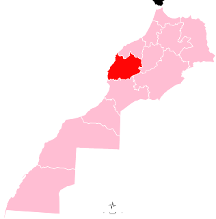
Lamzoudia is a town and rural commune in Chichaoua Province of the Marrakech-Tensift-Al Haouz region of Morocco. At the time of the 2004 census, the commune had a total population of 22,454 people living in 3400 households.
Ahdil is a town and rural commune in Chichaoua Province of the Marrakech-Tensift-Al Haouz region of Morocco. At the time of the 2004 census, the commune had a total population of 11,764 living in 1,667 households.
Adassil is a town and rural commune in Chichaoua Province of the Marrakesh-Safi region of Morocco. At the time of the 2004 census, the commune had a population of 7,219 living in 1,323 households.
Bouabout is a town and rural commune in Chichaoua Province of the Marrakech-Tensift-Al Haouz region of Morocco. At the time of the 2004 census, the commune had a total population of 12196 people living in 2245 households.
Ait Taguella is a small town and rural commune in Azilal Province of the Tadla-Azilal region of Morocco. At the time of the 2004 census, the commune had a total population of 7340 people living in 1236 households.
Korimate is a small town and rural commune in Essaouira Province of the Marrakech-Tensift-Al Haouz region of Morocco. At the time of the 2004 census, the commune had a total population of 10842 people living in 1912 households.
Mejji is a small town and rural commune in Essaouira Province of the Marrakech-Tensift-Al Haouz region of Morocco. At the time of the 2004 census, the commune had a total population of 7029 people living in 1229 households.
Adaghas is a small town and rural commune in Essaouira Province of the Marrakesh-Safi region of Morocco. At the time of the 2004 census, the commune had a total population of 3321 people living in 559 households.
Znada is a small town and rural commune in El Kelâat Es-Sraghna Province of the Marrakesh-Tensift-El Haouz region of Morocco. At the time of the 2004 census, the commune had a total population of 8830 people living in 1530 households.
Zemrane is a small town and rural commune in El Kelâat Es-Sraghna Province of the Marrakesh-Tensift-El Haouz region of Morocco. At the time of the 2004 census, the commune had a total population of 15996 people living in 2477 households.
Akarma is a small town and rural commune in Rehamna Province of the Marrakesh-Safi region of Morocco. At the time of the 2004 census, the commune had a total population of 5662 people living in 797 households.
Laouamra is a small town and rural commune in Larache Province of the Tanger-Tetouan-Al Hoceima region of Morocco. At the time of the 2004 census, the commune had a total population of 35,161 people living in 5205 households.