This article has multiple issues. Please help improve it or discuss these issues on the talk page . (Learn how and when to remove these messages)
|
Jhotwara | |
|---|---|
Suburban | |
 Jhotwara Location in Jaipur, Rajasthan, India 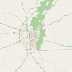 Jhotwara Jhotwara (Greater Jaipur)  Jhotwara Jhotwara (Rajasthan)  Jhotwara Jhotwara (India) | |
| Coordinates: 26°56′35″N75°45′25″E / 26.943041°N 75.757057°E | |
| Country | |
| State | Rajasthan |
| District | Jaipur |
| Languages | |
| • Official | Hindi |
| Time zone | UTC+5:30 (IST) |
| PIN | 302012 |
| Nearest city | Jaipur |
| Climate | Hot and dry (Köppen) |
Jhotwara is a suburban area of Jaipur in the north-west direction of Jaipur, the capital of Indian State of Rajasthan. It is a Legislative Assembly constituency [1] [2]