Jorat-Menthue | |
|---|---|
 Flag  Coat of arms | |
Location of Jorat-Menthue  | |
 Jorat-Menthue 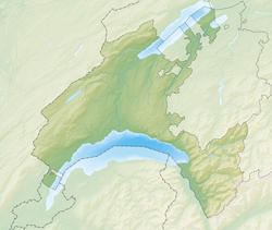 Jorat-Menthue | |
| Coordinates: 46°39′N6°43′E / 46.650°N 6.717°E | |
| Country | Switzerland |
| Canton | Vaud |
| District | Gros-de-Vaud |
| Government | |
| • Mayor | Syndic |
| Area | |
• Total | 17.65 km2 (6.81 sq mi) |
| Population (31 December 2018) [2] | |
• Total | 1,584 |
| • Density | 90/km2 (230/sq mi) |
| Time zone | UTC+01:00 (Central European Time) |
| • Summer (DST) | UTC+02:00 (Central European Summer Time) |
| SFOS number | 5804 |
| ISO 3166 code | CH-VD |
| Surrounded by | Froideville, Poliez-Pittet, Montilliez, Martherenges, Chapelle-sur-Moudon, Peyres-Possens |
| Website | http://www.jorat-menthue.ch Profile (in French), SFSO statistics |
Jorat-Menthue is a municipality in the district Gros-de-Vaud in the canton of Vaud in Switzerland.
Contents
The municipalities of Villars-Tiercelin, Montaubion-Chardonney, Sottens, Villars-Mendraz and Peney-le-Jorat merged on 1 July 2011 into the new municipality of Jorat-Menthue. [3]

