
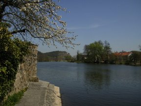
The Vltava is the longest river in the Czech Republic, running southeast along the Bohemian Forest and then north across Bohemia, through Český Krumlov, České Budějovice and Prague, and finally merging with the Elbe at Mělník. It is commonly referred to as the "Czech national river".
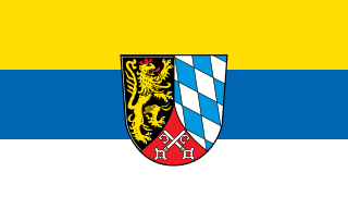
The Upper Palatinate is one of the seven administrative districts of Bavaria, Germany, and is located in the east of Bavaria.
Cham is a Landkreis (district) in Bavaria, Germany. It is bounded by the districts of Regen, Straubing-Bogen, Regensburg and Schwandorf and by the Czech Plzeň Region.
The Regen is a river in Bavaria, Germany, and a left tributary of the Danube, at Regensburg, Germany. The source of its main headstream, the Great Regen, is in the Bohemian Forest on the territory of the Czech Republic, near Železná Ruda. The river crosses the border after a few kilometres, at Bayerisch Eisenstein. The name in German evolved from the name in Latin, but its meaning is unknown. The Romans called the river variously Regana, Reganus (masculine), and Reganum (neuter).
Freyung-Grafenau is a Landkreis (district) in Bavaria, Germany. It is bounded by the districts of Passau, Deggendorf and Regen, the Czech Republic and by Austria.

The Bohemian Forest, known in Czech as Šumava and in German as Böhmerwald, is a low mountain range in Central Europe. Geographically, the mountains extend from Plzeň Region and South Bohemia in the Czech Republic to Austria and Bavaria in Germany, and form the highest truncated uplands of the Bohemian Massif, up to 50 km wide. They create a natural border between the Czech Republic on one side and Germany and Austria on the other.

The Berounka is a river in the Czech Republic, 138.2 km (85.9 mi) long, the biggest left tributary of Vltava, draining an area of 8,708 km2 (3,362 sq mi). It carries the name Mže for 105.2 kilometres (65.4 mi) from its source in Germany, next to the Czech border, until its confluence with the 109.7-kilometre (68.2 mi) Radbuza in Plzeň. It then continues with the name of Berounka until it enters the Vltava on the edge of Prague. Originally, the entire stream was called Mže, but in the 17th century the lower course started to be named after the town Beroun, lying upon it.
The Naab is a river in Bavaria, Germany, and is a left tributary of the Danube. Including its main source river Waldnaab, it is 196.6 km (122 mi) long. Its average discharge at the mouth is 49 m3/s (1,700 cu ft/s).
Černá hora is a 1,306-metre-high (4,285 ft) mountain in the Bohemian Forest, near the border with Bavaria, Germany. Its summit is not much higher than the surrounding area and it is entirely covered in dense spruce forest. Nearby is the source of the longest Czech river, the Vltava.

The Radbuza is a river in the Czech Republic, the right source river of the Berounka. Its source is situated at the foot of Lysá mountain near the village of Závist, near Domažlice. It passes through the villages and towns of Rybník, Smolov, Bělá nad Radbuzou, Horšovský Týn, Staňkov, Holýšov, Stod, Chotěšov, Zbůch and Dobřany before joining the Mže in Plzeň, and as the Berounka eventually reaching the Vltava at Prague.

Dolany nad Vltavou is a municipality and village in Mělník District in the Central Bohemian Region of the Czech Republic. It has about 900 inhabitants.

Pfreimd is a river of Plzeň Region, Czech Republic and Bavaria, Germany. It flows into the Naab in the town Pfreimd.

The Wondreb is a river in Bavaria, Germany and Karlovy Vary Region, Czech Republic. It flows into the Ohře (Eger) near the village Odrava.

Hammerbach is a river of Bavaria, Germany and of the Czech Republic. It is a left tributary of the Mže near Kočov.

Schwarzach is a river of Czech Republic and Bavaria, Germany. It is a left tributary of the Naab. It passes through Waldmünchen, Rötz and Neunburg vorm Wald, and flows into the Naab near Schwarzenfeld.
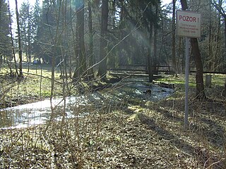
Höllbach is a river of Bavaria, Germany. It is the right headstream of the Schwesnitz in Rehau. For 1.7 km it forms the border between Germany and the Czech Republic. The westernmost point of the Czech Republic is on its left tributary Mähringsbach.

Muglbach is a river of Bavaria, Germany and the Czech Republic. It flows into the Wondreb (Odrava) near Cheb.
Reschbach is a river of Bavaria, Germany. Its source is on the border with the Czech Republic, close to the source of the Vltava. At its confluence with the Saußbach west of Freyung, the Wolfsteiner Ohe is formed.
The Southern Regnitz is a river of Czech Republic and Germany. Its source is near the village Hranice, Cheb District. It forms the border of Germany with the Czech Republic in the extreme northeast of Bavaria and then runs into Bavaria to join the Saale river near the city of Hof.
