Kapurpur | |
|---|---|
| Coordinates: 32°11′N74°26′E / 32.18°N 74.43°E | |
| Country | |
| Province | Punjab (Pakistan) |
| District | Sialkot |
| Elevation | 239 m (784 ft) |
| Time zone | UTC+5 (PST) |
Kapurpur is a village in Sialkot District in the province of Punjab in Pakistan.
Kapurpur | |
|---|---|
| Coordinates: 32°11′N74°26′E / 32.18°N 74.43°E | |
| Country | |
| Province | Punjab (Pakistan) |
| District | Sialkot |
| Elevation | 239 m (784 ft) |
| Time zone | UTC+5 (PST) |
Kapurpur is a village in Sialkot District in the province of Punjab in Pakistan.
Kapurpur is a small village in the Jaunpur district of the Indian state of Uttar Pradesh. It is under the local administration of Kapurpur Panchayath in the Varanasi division. The village is located 27 kilometres (17 mi) west of district headquarters in Jaunpur, 9 kilometres (5.6 mi) from Baksha, and 222 kilometres (138 mi) from state capital Lucknow.
Kapurpur may refer to:

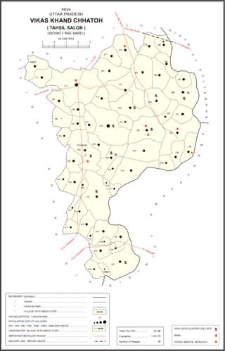
Kapurpur is a village in Chhatoh block of Rae Bareli district, Uttar Pradesh, India. It is located 46 km from Raebareli, the district headquarters. As of 2011, Kapurpur has a population of 1,615 people, in 310 households. It has no schools and no healthcare facilities, and it does not host a permanent market or a weekly haat. It belongs to the nyaya panchayat of Chhatoh.