Puthunagaram is a village and gram panchayat in the Palakkad district, state of Kerala, India.

Athipattu is a census town in Chennai in Thiruvallur district in the state of Tamil Nadu, India. The neighbourhood is served by Athipattu railway station of the Chennai Suburban Railway network. it is a suburb in northern part of Chennai.
Bharveli is a census town in Balaghat district in the state of Madhya Pradesh, India.
Choornikkara is a census town in Aluva in Ernakulam District in Kerala, India.

Ezhudesam is a town panchayat in Kanniyakumari district in the state of Tamil Nadu, India.

Ghorsala is a census town in Raghunathganj I CD Block in Jangipur subdivision of Murshidabad district in the Indian state of West Bengal.
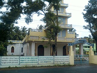
Kallukoottam is a panchayat town in Kanniyakumari district in the Indian state of Tamil Nadu.
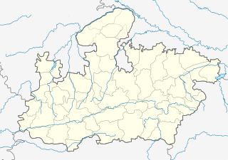
Manglaya Sadak is a census town in Indore district in the Indian state of Madhya Pradesh.
Pappakurichi is a census town in Tiruchirappalli district in the Indian state of Tamil Nadu. It was merged with the Tiruchirappalli Corporation in 2011.
Peerkankaranai is a neighborhood in Southern part of the metropolitan city of Chennai in the Indian state of Tamil Nadu.
Ramjibanpur is a city and a municipality in Paschim Medinipur district in the Indian state of West Bengal.
Sayalgudi is a town panchayat in Ramanathapuram district of Tamil Nadu State in India.
Sethia is a census town in Chhindwara district in the Indian state of Madhya Pradesh.
Sithayankottai is a panchayat town in Dindigul district in the Indian state of Tamil Nadu.
Thevaram is a town in Theni district in the Indian state of Tamil Nadu. Thevaram is located in Tamil Nadu near on border of Kerala at the Eastern side foot-hill of the Western Ghats. It is connected with State Highway SH100.
Uttar Mahammadpur is a census town in Samserganj CD Block in Jangipur subdivision of Murshidabad district in the Indian state of West Bengal.
Valvaithankoshtam is a panchayat town in Kanniyakumari district in the Indian state of Tamil Nadu.

Rambha is a town and a notified area council in Ganjam district in the Indian state of Odisha.
Uthukottai is a border town and panchayat town in Tamil Nadu, next to Andhra Pradesh, located on the banks of the Arani river. The town features a channel which helps to direct water from the Krishna river for local irrigation.
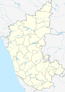
Kerur is a City in Bagalkot district in Karnataka, which located on NH 218. It has an average elevation of 617 meters (2024 feet). It's a birthplace of Jagadish Shettar, a former Chief Minister of Karnataka. Kerur is a Town Panchayat city in district of Bagalkot, Karnataka. The Kerur city is divided into 16 wards for which elections are held every five years. The Kerur Town Panchayat has population of 19,731 of which 9,929 are males while 9,802 are females as per report released by Census India 2011.