This article needs additional citations for verification .(May 2018) |
| Kasbeswari Kali Mata | |
|---|---|
কসবেশ্বরী কালী মাতা | |
 | |
| Religion | |
| Affiliation | Hinduism |
| District | Sipahijala |
| Deity | Kali |
| Location | |
| Location | Kamalasagar |
| State | Tripura |
| Country | India |
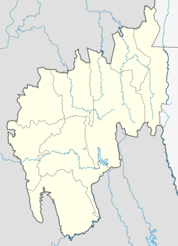 Location in Tripura | |
| Geographic coordinates | 23°44′24.59″N91°9′35.35″E / 23.7401639°N 91.1598194°E |
| Architecture | |
| Type | Bengal architecture |
| Creator | Dhanya Manikya |
| Completed | Late 15 century |
Kasbeswari Kali Mata or Kamalasagar Kali Temple was built on a hill-top by Maharaja Dhanya Manikya in the late 15th century. [1] It is situated just beside the Bangladesh border, The lake, Kamalasagar, in front of this temple rightly enhances its beauty.
Contents
Kamalasagar Temple is located about 27 km from Agartala in a small village called Kasba . It falls on Indo- Bangladesh border. The temple is placed on a hillock overlooking Kamalasagar. [2]


