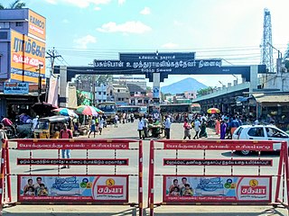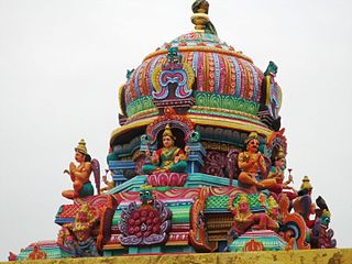
Madurai, formerly known by its colonial name Madura is a major city in the Indian state of Tamil Nadu. It is the cultural capital of Tamil Nadu and the administrative headquarters of Madurai District, which is governed by the Madurai Municipal Corporation established in 1 November 1866. As of the 2011 census, it is the third largest metropolis in Tamil Nadu after Chennai and Coimbatore in terms of population and 27th largest urban agglomeration in India. Located on the banks of River Vaigai, Madurai has been a major settlement for two millennia and has a documented history of more than 2500 years. It is often referred to as "Thoonga Nagaram", meaning "the city that never sleeps".

Namakkal is a city and the headquarters of Namakkal district, Tamil Nadu. It is the first ISO 14001-2004 certified municipality in Asia for environmental management, specifically the provision and maintenance of water supply, solid waste and sewage management, town planning, lighting and other social services. Namakkal is known as the Egg City due to its large egg production and Transport city.

Tenkasi is a town and headquarters of the Tenkasi district in Indian state of Tamil Nadu.
Ramanathapuram, also known as Ramnad, is a city and a municipality in Ramanathapuram district in the Indian state of Tamil Nadu. It is the administrative headquarters of Ramanathapuram district and the second largest town in Ramanathapuram district.

Dindigul District is one of the 38 districts in the state of Tamil Nadu in India. Dindigul District is the largest district in Tamil Nadu by area. The district was carved out of Madurai District in 1985. It has an area of 6266.64 km2 and comprises 3 revenue divisions, 10 taluks, and 14 panchayat unions. The district is located in Southwest of Tamil Nadu. The district is bound by Madurai district in the south,Tiruppur district in the northwest, Karur district in the north, Tiruchirappalli district in the northeast, Theni district in the Southwest and Idukki district of Kerala to the west. As of 2011, the district had a population of 2,159,775 with a sex-ratio of 998 females for every 1,000 males.

Lalgudi is a prominent municipality located in the Tiruchirapalli district of Tamil Nadu, India. This region has historical and cultural significance, serving as the administrative center for various divisions including Lalgudi taluk, Lalgudi Educational District, and Lalgudi DSP. Its importance stems from its governance structure, educational institutions, and constituency representation, as it has been part of the legislative assembly since 1952.

Periyakulam is a major town and a municipality in Theni district, in the Madurai Region, South Indian state of Tamil Nadu. As of 2011, the town had a population of 42,976. Periyakulam is the northern gateway of the district.
Sathankulam is a panchayat town in Thoothukudi district in the Indian state of Tamil Nadu.

Usilampatti is a town and a second grade municipality of Madurai district in the Indian state of Tamil Nadu. It is also a designated taluk and revenue division.

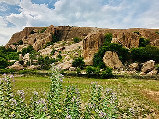
Samanar Hills, also known as Samanar Malai or Amanarmalai or Melmalai, is a rocky stretch of hills located near Keelakuyilkudi village, 10 kilometres (6.2 mi) west of Madurai city, Tamil Nadu, India. They stretch east–west over 3 kilometers towards Muthupatti village. These rocky hillocks are home to many Jain and Hindu monuments. The hill has been declared as a protected monument by the Archaeological Survey of India.

Mangulam or Mankulam is a village in Madurai district, Tamil Nadu, India. It is located 25 kilometres (16 mi) from Madurai. The inscriptions discovered in the region are the earliest Tamil-Brahmi inscriptions.

Keezhavazhavu is a village in Madurai district of Tamil Nadu, India. It is located 43 kilometres (27 mi) from Madurai. It is known for two hillocks called Panchapandavar Malai or Panchapandavar Padukkai which contains ancient Jain sculptures and stone beds, and another is Sakkarai peer oliulla Mountain. It has a cave.
Alangudi is a village in Sivaganga district of Tamil Nadu State in South India. Its area pin code is 630307.
Pirappan Valasai is a village in Mandapam block in Ramanathapuram District of Tamil Nadu, India.
Anuppanadi is a neighbourhood in Madurai district of Tamil Nadu state in the peninsular India, located with the geographical coordinates of 9°54′17.3″N78°08′24.4″E and at an altitude of about 152 m above the mean sea level. Madurai, Vandiyur, Anna Nagar, K. K. Nagar, East Gate, South Gate, Goripalayam, Sellur, Simmakkal, Yanaikkal and Nelpettai are some of the important neighbourhoods of Anuppanadi. In the year 1887, excavations carried out at Anuppanadi indicate that Jar burials and earthenware containers were found.
Thanakkankulam is a neighbourhood in Madurai district of Tamil Nadu state in the peninsular India.
Karuppayurani is a neighbourhood in Madurai district of Tamil Nadu state in the peninsular India.
Vembakottai is a neighbourhood in Virudhunagar district of Tamil Nadu state in India. Vembakottai is of importance that archaeological excavation had done three times where thousands of artefacts unearthed there that indicated people had lived along the banks of Vaippar river, 2000 years ago.
Aviyanur is a neighbourhood in Panruti taluk in Cuddalore district of Tamil Nadu state in India. Aviyanur village comes under Annagramam block in Cuddalore district.

Koviladi is a neighbourhood in Thanjavur district of Tamil Nadu state in India.


