
The Big City Plan is a major development plan for the city centre of Birmingham, England.

Cottingham is a large village and civil parish in the East Riding of Yorkshire, England. It lies 4 miles (6 km) north-west of the centre of Kingston upon Hull, and 6 miles (10 km) south-east of Beverley on the eastern edge of the Yorkshire Wolds. It forms part of Hull's Urban Area. It has two main shopping streets, Hallgate and King Street, which cross each other near the Church of Saint Mary the Virgin, and a market square called Market Green. Cottingham had a population of 17,164 residents in 2011, making it larger by area and population than many towns. As a result, it is one of the villages claiming to be the largest village in England.

Hull Paragon Interchange is a transport interchange providing rail, bus and coach services located in the city centre of Kingston upon Hull, England. The G. T. Andrews-designed station was originally named Paragon Station, and together with the adjoining Station Hotel, it opened in 1847 as the new Hull terminus for the growing traffic of the York and North Midland (Y&NMR) leased to the Hull and Selby Railway (H&S). As well as trains to the west, the station was the terminus of the Y&NMR and H&S railway's Hull to Scarborough Line. From the 1860s the station also became the terminus of the Hull and Holderness and Hull and Hornsea railways.

The Birmingham Post and Mail building was constructed in the 1960s and was a symbol of the rebuilding of Birmingham, England, following the devastation of World War II.
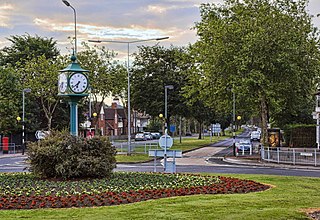
Willerby is a village and civil parish located on the western outskirts of the city of Kingston upon Hull in the East Riding of Yorkshire, England.

Newport city centre is traditionally regarded as the area of Newport, Wales bounded by the west bank of the River Usk, the George Street Bridge, the eastern flank of Stow Hill and the South Wales Main Line. Most of the city centre is contained within two conservation areas: the central area and the area around Lower Dock Street. Most of the city centre is located in the Stow Hill district.

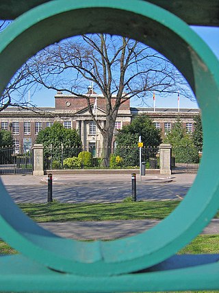
Kirk Ella is a village and civil parish on the western outskirts of Kingston upon Hull, approximately five miles west of the city centre, situated in the East Riding of Yorkshire, England. The parish includes West Ella.

Humberside Fire and Rescue Service (HFRS) is the statutory fire and rescue service covering the area of what was the county of Humberside (1974–1996), but now consists of the unitary authorities of East Riding of Yorkshire, Kingston upon Hull, North Lincolnshire and North East Lincolnshire in northern England.
Malet Lambert is a secondary school for 11- to 16-year-old pupils in Kingston upon Hull, East Riding of Yorkshire, England. The school is situated on James Reckitt Avenue in the east of the city, its front facade overlooks East Park. Malet Lambert opened in 1932 and became a grammar school in 1944 before becoming a community comprehensive in 1969. The school converted to academy status in September 2015.
Hull College is a Further Education and Higher Education establishment based in Kingston upon Hull, England.

Orchard Park Estate is an area or housing estate situated on the north-western side of Kingston upon Hull, England.

The Guildhall is a building on Alfred Gelder Street in the City of Kingston upon Hull, East Riding of Yorkshire, England. The building is currently the headquarters of Hull City Council but is also used as a venue for conferences, civic receptions and formal dinners. It is a Grade II* listed building status.
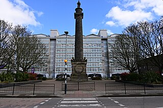
Gipsyville is a western suburb of Kingston upon Hull, in the East Riding of Yorkshire, England.

Newland is a suburb of Kingston upon Hull, East Riding of Yorkshire, England, in the north-west of the city, a former village on the Hull to Beverley turnpike.
The 1950s and 1960s saw the construction of numerous brutalist apartment blocks in Sheffield, England. The Sheffield City Council had been clearing inner-city residential slums since the early 1900s. Prior to the 1950s these slums were replaced with low-rise council housing, mostly constructed in new estates on the edge of the city. By the mid-1950s the establishment of a green belt had led to a shortage of available land on the edges of the city, whilst the government increased subsidies for the construction of high-rise apartment towers on former slum land, so the council began to construct high-rise inner city estates, adopting modernist designs and industrialised construction techniques, culminating in the construction of the award-winning Gleadless Valley and Park Hill estates.

Stepney is an area of Kingston upon Hull within the larger area of Sculcoates, north of the city centre on the (A1079) Beverley-Hull main road. Before the mid-19th century the place was a small hamlet outside the urban area of Kingston upon Hull.

The North Hull Estate is a residential area in the north of Kingston upon Hull, west of the River Hull, built by Hull Corporation in the interwar period.
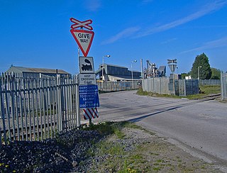
Dairycoates is an area of Kingston upon Hull, East Riding of Yorkshire, England, a former hamlet.

Preston Road Estate, also known as the East Hull Estate, is a housing estate in the east of Kingston upon Hull built from the 1920s to the 1940s by Hull Corporation. At the beginning of the 21st century considerable redevelopment of the estate took place, with a large community centre established, and demolition or modification of older substandard houses.

The Edwin Davis Company was a department store based in Kingston upon Hull that traded from around 1840 until 1978.


