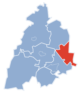
Gmina Jaświły is a rural gmina in Mońki County, Podlaskie Voivodeship, in north-eastern Poland. Its seat is the village of Jaświły, which lies approximately 12 kilometres (7 mi) north-east of Mońki and 42 km (26 mi) north of the regional capital Białystok.

Sikory is a village in the administrative district of Gmina Mońki, within Mońki County, Podlaskie Voivodeship, in north-eastern Poland. It lies approximately 6 kilometres (4 mi) east of Mońki and 37 km (23 mi) north-west of the regional capital Białystok.
Brzozówka Folwarczna is a village in the administrative district of Gmina Jasionówka, within Mońki County, Podlaskie Voivodeship, in north-eastern Poland. It lies approximately 20 kilometres (12 mi) east of Mońki and 27 km (17 mi) north of the regional capital Białystok.
Czarnystok is a village in the administrative district of Gmina Jasionówka, within Mońki County, Podlaskie Voivodeship, in north-eastern Poland. It lies approximately 4 kilometres (2 mi) south-east of Jasionówka, 19 km (12 mi) east of Mońki, and 31 km (19 mi) north of the regional capital Białystok.
Dobrzyniówka is a village in the administrative district of Gmina Jasionówka, within Mońki County, Podlaskie Voivodeship, in north-eastern Poland. It lies approximately 19 kilometres (12 mi) east of Mońki and 28 km (17 mi) north of the regional capital Białystok.
Górnystok is a village in the administrative district of Gmina Jasionówka, within Mońki County, Podlaskie Voivodeship, in north-eastern Poland.
Jasionóweczka is a village in the administrative district of Gmina Jasionówka, within Mońki County, Podlaskie Voivodeship, in north-eastern Poland. It lies approximately 2 kilometres (1 mi) west of Jasionówka, 15 km (9 mi) east of Mońki, and 33 km (21 mi) north of the regional capital Białystok.
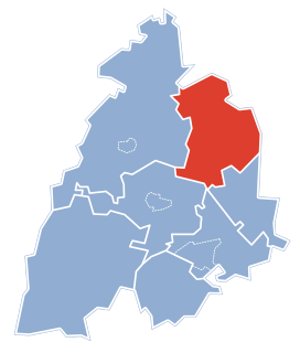
Jasionówka is a village in Mońki County, Podlaskie Voivodeship, in north-eastern Poland. It is the seat of the gmina called Gmina Jasionówka. It lies approximately 16 kilometres (10 mi) east of Mońki and 33 km (21 mi) north of the regional capital Białystok.
Kalinówka Królewska is a village in the administrative district of Gmina Jasionówka, within Mońki County, Podlaskie Voivodeship, in north-eastern Poland. It lies approximately 5 kilometres (3 mi) north-west of Jasionówka, 12 km (7 mi) east of Mońki, and 36 km (22 mi) north of the regional capital Białystok.
Koziniec is a village in the administrative district of Gmina Jasionówka, within Mońki County, Podlaskie Voivodeship, in north-eastern Poland. It lies approximately 5 kilometres (3 mi) north-west of Jasionówka, 13 km (8 mi) east of Mońki, and 38 km (24 mi) north of the regional capital Białystok.
Krasne Małe is a village in the administrative district of Gmina Jasionówka, within Mońki County, Podlaskie Voivodeship, in north-eastern Poland. It lies approximately 10 kilometres (6 mi) south of Jasionówka, 21 km (13 mi) south-east of Mońki, and 23 km (14 mi) north of the regional capital Białystok.
Krasne Stare is a village in the administrative district of Gmina Jasionówka, within Mońki County, Podlaskie Voivodeship, in north-eastern Poland.
Krzywa is a village in the administrative district of Gmina Jasionówka, within Mońki County, Podlaskie Voivodeship, in north-eastern Poland.
Kujbiedy is a village in the administrative district of Gmina Jasionówka, within Mońki County, Podlaskie Voivodeship, in north-eastern Poland. It lies approximately 3 kilometres (2 mi) south-east of Jasionówka, 17 km (11 mi) east of Mońki, and 31 km (19 mi) north of the regional capital Białystok.
Łękobudy is a village in the administrative district of Gmina Jasionówka, within Mońki County, Podlaskie Voivodeship, in north-eastern Poland. It lies approximately 18 kilometres (11 mi) east of Mońki and 28 km (17 mi) north of the regional capital Białystok.
Milewskie is a village in the administrative district of Gmina Jasionówka, within Mońki County, Podlaskie Voivodeship, in north-eastern Poland. It lies approximately 4 kilometres (2 mi) south of Jasionówka, 15 km (9 mi) east of Mońki, and 30 km (19 mi) north of the regional capital Białystok.
Słomianka is a village in the administrative district of Gmina Jasionówka, within Mońki County, Podlaskie Voivodeship, in north-eastern Poland.
Dzięciołowo is a village in the administrative district of Gmina Jaświły, within Mońki County, Podlaskie Voivodeship, in north-eastern Poland. It lies approximately 11 kilometres (7 mi) north-east of Jaświły, 22 km (14 mi) north-east of Mońki, and 50 km (31 mi) north of the regional capital Białystok.
Czechowizna is a village in the administrative district of Gmina Knyszyn, within Mońki County, Podlaskie Voivodeship, in north-eastern Poland. It lies approximately 4 kilometres (2 mi) north-west of Knyszyn, 10 km (6 mi) south-east of Mońki, and 31 km (19 mi) north-west of the regional capital Białystok.