Pilsbach is a town in the Austrian state of Upper Austria.

Pressbaum is a town in the district of St. Pölten-Land in the Austrian state of Lower Austria.

Aspang-Markt is a market town in Lower Austria in Austria.

Admont is a town in the Austrian state of Styria. It is historically most notable for Admont Abbey, a monastery founded in 1074.

Weiz is a town in the eastern part of the Austrian state of Styria.

Enzersfeld im Weinviertel is a town in the district of Korneuburg in the state of Lower Austria in Austria.
Hagenbrunn is a town in the district of Korneuburg in Lower Austria in Austria.

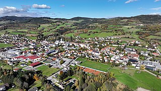
Nenzing is a market town in the district of Bludenz in the Austrian state of Vorarlberg with a population of 6,225 (2022).

Lassee is a town in the district of Gänserndorf in the Austrian state of Lower Austria.

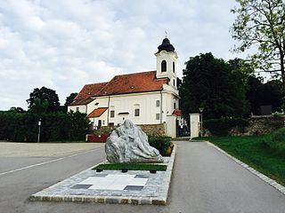
Marchegg is a town in the district of Gänserndorf in the Austrian state of Lower Austria at the Slovak border formed by the Morava River. The town is connected to Vysoká pri Morave via a bike bridge. The Marchegg castle is located in the town.
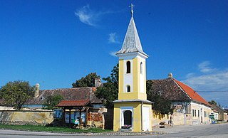
Seefeld-Kadolz is a town in the district of Hollabrunn in Lower Austria, Austria.

Wullersdorf is a town in the district of Hollabrunn in Lower Austria, Austria.

Türnitz is a town in the district of Lilienfeld in the Austrian state of Lower Austria.

Artstetten-Pöbring is a town in the district of Melk in the Austrian state of Lower Austria.

Klein-Pöchlarn is a town in the district of Melk in the Austrian state of Lower Austria.
Pöggstall is a town in the district of Melk in the Austrian state of Lower Austria.

Scheiblingkirchen-Thernberg is a town in the district of Neunkirchen in the Austrian state of Lower Austria.

Herzogenburg is a town in the district of Sankt Pölten-Land in the Austrian state of Lower Austria.
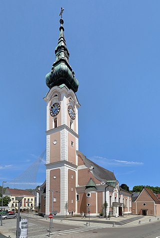
Grieskirchen is a town in Austria. It is capital of the Grieskirchen district of Upper Austria, in the Trattnachtal valley.

Bad Waltersdorf is a spa town in the district of Hartberg-Fürstenfeld in Styria, Austria.


