Krisnapur | |
|---|---|
village | |
 Krisnapur | |
| Coordinates: 21°47′N92°00′E / 21.783°N 92.000°E | |
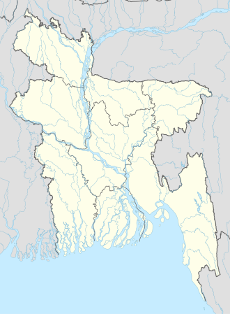
| Country | Bangladesh |
| Division | Chittagong |
| Zila | Cox's Bazar |
| Upazila | Chakaria Upazila |
| Time zone | UTC+06 |
Krisnapur is a Bangladeshi village situated in Chakaria Upazila. [1] According to the 2011 Bangladesh census, Krisnapur had 273 households and a population of 1,139. [2]