
Équateur was one of the eleven provinces of the Democratic Republic of the Congo between 1966 and 2015, when it was split into the new, smaller Équateur province, as well as the Tshuapa, Mongala, Nord-Ubangi and Sud-Ubangi provinces.

Ubangi-Shari was a French colony in central Africa, a part of French Equatorial Africa.

Ubangi-Shari was a French colony in central Africa which later became the independent country of the Central African Republic on August 13, 1960. It followed the establishment of the Bangui outpost in 1889, and was named in 1894.

Mobayi-Mbongo, formerly known as Banzyville or Banzystad, is a town in Nord-Ubangi Province, in the northwestern part of the Democratic Republic of the Congo, on the Ubangi River. It lies opposite the Central African town of Mobaye. It is the administrative center of the territory of the same name. As of 2012 the estimated population was 5,640.
The Dongo conflict was a minor conflict centered in the town of Dongo, on the left bank of the Ubangi River in Sud-Ubangi District, Democratic Republic of the Congo. Violence initially broke out in late October 2009 after a local dispute over fishing rights. This destabilised the region and led to a spiral of violence, and an exodus of civilians attempting to flee from the fighting. By December 2009, more than 168,000 people had fled their homes, many of them crossing into the neighbouring Republic of the Congo. An intervention by the Congolese army and United Nations Mission in the Democratic Republic of Congo (MONUC) brought the conflict to an end by 13 December 2009.
Dongo is a town in the Kungu territory of Sud-Ubangi province, Democratic Republic of the Congo. Dongo was caught up in a conflict known as the Dongo conflict. During the conflict over 168,000 people fled their homes into other parts of the Congo Basin and neighboring Republic of the Congo. It lies on the northwestern border with the Republic of Congo, on the Oubangui river, in Equateur province.
Bondo Territory is a territory in the Bas-Uele Province of the Democratic Republic of the Congo. The administrative capital is the town of Bondo.
Mongala is one of the 26 provinces of the Democratic Republic of the Congo. Its capital is the town of Lisala.
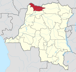
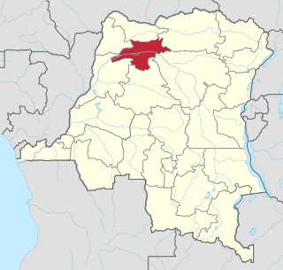
Nord-Ubangi is one of the 26 provinces of the Democratic Republic of the Congo. It is located in the northwestern part of the country on the Ubangi River. Its capital is the city of Gbadolite.

Sud-Ubangi is one of the 26 provinces of the Democratic Republic of the Congo. It lies in the north of the country on the Ubangi River. Its capital is Gemena.

Tumba-Ngiri-Maindombe is the largest Wetland of International Importance in the world as recognized by the Ramsar Convention. The site covers an area of 65,696 square kilometres (25,365 sq mi) in the region around Lake Tumba in the western Congo Basin in the Democratic Republic of the Congo (DRC). This is more than twice the size of Belgium or Maryland.
Bikoro Territory is an administrative area in Équateur District of Équateur province in the Democratic Republic of the Congo. The headquarters is the town of Bikoro. The territory lies to the south of the provincial capital of Mbandaka. It is bordered on the west by the Congo River, and contains Lake Ntomba.
The Ngiri Reserve is a protected area of the Democratic Republic of the Congo (DRC). It is located in western Équateur province, in the Bomongo, Bikoro and Makanza territories, and covers a total area of 1,000 square kilometres (390 sq mi). It extends northward from the confluence of the Congo River and the Ubangi River. According to the World Wide Fund for Nature (WWF) the reserve will conserve biodiversity and the ecosystem in the Ngiri triangle.
The Ngiri River is a tributary of the Ubangi River that flows southward through the Sud-Ubangi District of Équateur province, Democratic Republic of the Congo.
Bomongo is a town in the Équateur Province of the Democratic Republic of the Congo, the headquarters of Bomongo Territory. It lies on the west bank of the Ngiri River. Bomongo is the only town in the Ngiri Reserve, a sparsely populated region of swamp forest between the Ubangi and Congo rivers.
Yakoma is a town in the Nord-Ubangi province of the Democratic Republic of the Congo (DRC), the headquarters of the Yakoma Territory.
Bomboli is a Bantu language of the Democratic Republic of the Congo. The language is spoken in the towns of Kungu and Dongo in the Sud-Ubangi province, specifically on a canal flowing into Ngiri river, north of Bomongo.

The Central African Republic–Republic of the Congo border is 487 km in length and runs from the tripoint with Cameroon in the west to the tripoint with the Democratic Republic of the Congo in the east.
