Adilabad is a city which serves as the headquarters of Adilabad district, in the Indian state of Telangana. Telugu, Urdu, Marathi, and Lambadi, Gondi are the most spoken languages of Adilabad. Adilabad is famous for its extensive cultivation of cotton. Hence, Adilabad is also referred as "White Gold City". It is located about 304 kilometres (189 mi) north of the state capital, Hyderabad, 150 kilometres (93 mi) from Nizamabad and 196 kilometres (122 mi) from Nagpur.

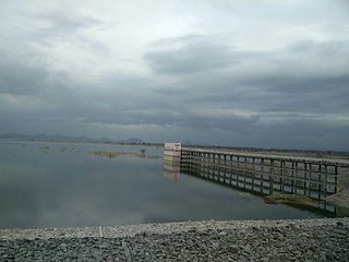
Ramagundam is a city under municipal corporation in Peddapalli district of the Indian state of Telangana. It is the most populous city in the district and falls under the Ramagundam revenue division. It is located on the banks of the Godavari River. As of the 2011 census, the city had a population of 229,644, making it the 6th most populous in the state, and an urban agglomeration population of 242,979. It is located about 225 km from the state capital Hyderabad.
Quthbullapur is a Town in Hyderabad in the Medchal-Malkajgiri district of the Indian state of Telangana. It is the mandal headquarters of Quthbullapur mandal in Malkajgiri revenue division. The mandal was a part of Ranga Reddy district before the re-organisation of districts in the state. It was a municipality prior to its merger into the Greater Hyderabad Municipal Corporation.

Bhongir, officially known as Bhuvanagiri, is a city and a district headquarters of the Yadadri Bhuvanagiri district and part of the Hyderabad Metropolitan Region of the Indian state of Telangana.
Bellampalli is a town in Mancherial district of the Indian state of Telangana. It is a municipality and mandal headquarters of Bellampalli mandal of Bellampalli revenue division.
Dostpur is a town and a nagar panchayat in Sultanpur district in the state of Uttar Pradesh, India. The town borders Sultanpur and Ambedkarnagar. Purvanchal Expressway passes near the town.
Eddumailaram is a census town in Sangareddy District of Telangana.
Isnapur is a census town in sangareddy district of patancheru mandal Indian State Telangana.

Korutla municipality is the second largest town and revenue division in the Jagtial district in the Indian state of Telangana. It is a historical town ruled by Jain Kings and second largest town in Jagtial district. It is the headquarters of Koratla constituency. It is located about 23 kilometres (14 mi) from the district headquarters Jagtial, 235 kilometers from Hyderabad, 73 kilometers from Karimnagar and 76 kilometers from Nizamabad.
Madaram is a census town in Mancherial district in the Indian state of Telangana.
Mancherial is a city and headquarters of the Mancherial district of the Indian state of Telangana. It is both the district and administrative headquarters of Mancherial mandal in the Mancherial revenue division. It is located on the north banks of the Godavari River. It is located about 244 kilometres (152 mi) from the state capital, Hyderabad, 84 kilometres (52 mi) from Karimnagar, 138 kilometres (86 mi) from Nirmal and 155 kilometres (96 mi) from Adilabad.
Mandamarri is a town and a municipality in Mancherial district in the Indian state of Telangana.
Meerpet–Jillelguda is a satellite city of Hyderabad and a municipal corporation in Rangareddy district of the Indian state of Telangana. The municipal corporation was formed after merging municipality of Meerpet and Jillelguda.
Naspur is a municipality and a suburb and mandal in Mancherial district of the Indian state of Telangana. Located the north bank of Godavari River.
Sadashivpet is a town in Sangareddy district of the Indian state of Telangana.
Teegalapahad is a census town in Adilabad district of the Indian state of Telangana.
Singapur is a census town in Mancherial district in the Indian state of Telangana.

Shahpur is a town and a notified area in Bhojpur district in the Indian state of Bihar.
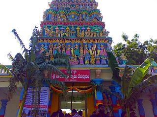
Yadagirigutta is a census town in Alair Assembly constituency of Yadadri Bhuvanagiri district of the Indian state of Telangana. It is a temple town as the famous Lakshmi Narasimha Temple is situated here. It is located at a distance of 16 km from the district headquarters Bhuvanagiri which is a part of Hyderabad Metropolitan Region and 65 km from Uppal, a major suburb of Hyderabad. The proposed Hyderabad Regional Ring Road passes through Yadagirigutta.
Sironcha is a town and municipal council in Gadchiroli district of Maharashtra state in India. It connected with NH-63.

